
What is recorded here
Pallas Castle stood on a slight rise beside the Pallas river as a limestone tower house with a thick bawn wall, belonging to Daniell Kenedy in 1640 before ruin and demolition erased it. Farmers now build yards and houses directly upon the castle site, hiding the medieval stones beneath ordinary life. The wall measured twelve feet high and nearly four feet thick, large enough to exclude strangers but small enough for neighbours to know every creak. What remains is not a ruin but a swallowed foundation, waiting beneath footprint and fence for someone to remember the shape of the room that disappeared.
Situated on a slight rise of ground in undulating countryside with nearby Pallas river to the W. Described as an 'old ruined irrepayarable castle and bawne' in the Civil Survey (1654-6) (Simington 1934, vol. 2, 322). Daniell Kenedy is listed as proprietor in 1640 (ibid.). The OS Letters describe the bawn wall as standing to a height of 12ft (3.6m) and measuring 3ft 9in (1.1m) thick (O'Flanagan 1930, vol. 3, 30). A farmyard and farmhouses are now located on site of the castle and bawn (TN005-006002-) leaving no visible remains at ground level. Tower House type castle depicted standign opposite the medieval mill on the 17th century Down Survey map of the parishes of Dorrha and Bunacum (NLI, Ms. 721)
Pallas Castle ruins described in 1840 as following; ‘Palace old Castle stood a short distance to the S.West of the Church. It is now entirely demolished & part of a wall belonging to the bawn walls is still to be seen at the place. It is a structure of limestone and lime and sand mortar. Its height is about 12 feet [3.65m]. Thickness of the wall is 3 feet 9 inches [1.14m]. There two thatches stables apparently, at one extremity, one attached to each side. Between these stables is apparently on the old wall a stone chimney’ (O’Flanagan 1930, vol. 3, 30; OSL Dorrha Parish RIA MS 14/F/20/4/(v)).
The above description is derived from 'The Archaeological Inventory of County Tipperary. Vol. 1 - North Tipperary' compiled by Jean Farrelly and Caimin O'Brien (Dublin: Stationery Office, 2002). In certain instances the entries have been revised and updated in the light of recent research.
Compiled and revised by: Caimin O'Brien
Date of upload/revision: 12 October 2020
The monument record does not grant public access. Check the route and ask the landowner before entering private land.
- What survives
- Recorded monument
Places near here
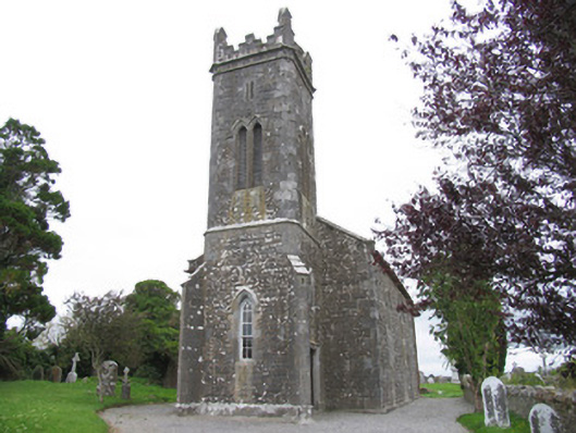 Dorrha Churchchurch/chapel · 219 yd
 Church (in ruins)Church · 226 yd
 Dotted OutlineEcclesiastical enclosure · 287 yd
 Toberdima (now dry)Holy well · 441 yd
 Lumcloon WoodWood · 2.0 mi
 Site of Feddaun CastleCastle, unclassified · 2.8 mi
 Cloghan CastleCastle, tower house · 3.4 mi
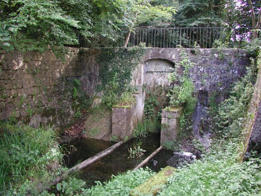 Birr Castlemachinery · 3.6 mi
 European BeechEuropean Beech · 3.6 mi
 The Great Telescope 'Leviathan'Heritage attraction · 3.7 mi
 Waterfall PointViewpoint · 3.9 mi
 James Franklin FullerMemorial · 3.9 mi
Other information
Photo: Credit not shown in the picture search · Rights wording not checked; contact us if this picture should be removed