
What is recorded here
In grassland, close to the S shore of Galway Bay. A roughly rectangular depression (9m E-W; 6m N-S; D 0.6-0.8m) is delimited along the S and W sides by two courses of large limestone boulders. At N there is a modern shrine and statue of St Kiernan, in front of which are two hollowed-out bullaun-like limestone boulders. According to Korff and O’Connell (1985, 32), an all-night vigil was held here on the last Sunday in July ‘culminating with a Feis at Tracht’.
Compiled by: Galway Archaeological Survey, UCG
Date of upload: 10 February 2020
St. Keirans Bed is associated with St. Kieran, a 6th-century Irish saint known for founding monastic sites such as Kieran's Hospital in County Offaly. The site may have been used for ritual washing or prayer, and such depressions are often linked to healing traditions or pilgrimages in Irish folklore.
The monument record does not grant public access. Check the route and ask the landowner before entering private land.
- What survives
- Recorded monument
Places near here
 Traught BeachBeach / strand · 176 yd
 IndicatedFairy fort / stone ringfort · 297 yd
 Doorus Househouse · 530 yd
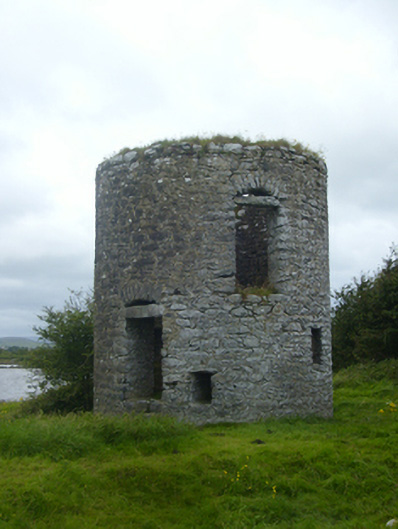 mill (tide)mill (tide) · 817 yd
 Bush IslandIslet · 1064 yd
 Patricks WellHoly well · 1137 yd
 Seal IslandIslet · 1615 yd
 CastleCastle, unclassified · 1.7 mi
 Castle in ruinsCastle, unclassified · 2.2 mi
 Mweenish PointHeadland · 2.4 mi
 Abbey HillMountain / peak · 3.3 mi
 Plumbtree FortArchaeological place · 4.1 mi
Other information
Photo: Credit not shown in the picture search · Rights wording not checked; contact us if this picture should be removed