What is recorded here
Knockakilleen holds a thirty-metre stone ring where massive regular limestone blocks still stand, though a later field wall cut across its northern memory. The southern face buries field-clearance rubble, and the interior hints at a wider boundary, suggesting the fort grew or changed before it was forgotten. Fairy fort is the local name, but the stones speak of human hands, likely neighbours shaping a defensible home on level Galway grassland.
In level grassland. Subcircular cashel (diam. c. 30m), in fair condition, defined by a drystone wall
(H 1.5m; Wth 1.3m) from ENE through S to WNW. A field wall cuts across it from ENE to WNW and no visible surface trace survives to the N of it. The lower courses of wall are constructed of massive regular limestone blocks. Field-clearance rubble is piled against the external wall-face at S and internally it appears that the wall was widened to 3.5m as an inner line of wall-facing is visible.
Compiled by: Galway Archaeological Survey, UCG
Date of upload: 10 January 2018
The monument record does not grant public access. Check the route and ask the landowner before entering private land.
- What survives
- Recorded monument
Places near here
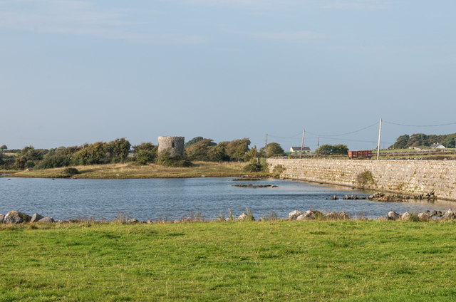 Tide millTide mill, unclassified · 645 yd
 mill (tide)mill (tide) · 646 yd
 Patricks WellHoly well · 659 yd
 St. Keirans BedRitual site, holy/saint's stone · 725 yd
 Traught BeachBeach / strand · 740 yd
 Bush IslandIslet · 1125 yd
 Seal IslandIslet · 1.0 mi
 Castle in ruinsCastle, unclassified · 1.8 mi
 CastleCastle, unclassified · 2.1 mi
 Mweenish PointHeadland · 2.7 mi
 Abbey HillMountain / peak · 2.9 mi
 Saint Patrick's ChurchHeritage attraction · 3.7 mi