What is recorded here
Patricks Well is a holy well submerged within the floodplain of Lough Adoona, County Galway. It appeared on the 1838 OS map but vanished under water by 1982, leaving behind only a forgotten name and a duplicate well eighty metres east. The lake swallowed the site, yet the memory of clean water and local devotion remains trapped beneath the surface.
Within the floodplain of Lough Adoona. Indicated on the 1838 and 1922 editions of the OS 6-inch map but named ‘Patricks Well’, in Roman script, only on the 1838 edition. On inspection in September 1982 and March 1992, this area was flooded and no visible trace of the well was visible. Another well, also named ‘Patricks Well’ (GA112-048----), lies c. 80m to the E.
Galway Archaeological Survey, UCG
Date of upload: 9 May 2023
Linked to St. Patrick, the well is traditionally associated with healing and may have been a site of pilgrimage or seasonal ritual. The disappearance of its name from later maps may reflect declining use or suppression during the Reformation.
This remains an important historical record, but the official description says the monument is no longer visible or has been destroyed. The monument record does not grant public access. Check the route and ask the landowner before entering private land.
- What survives
- No visible remains or recorded as destroyed
Places near here
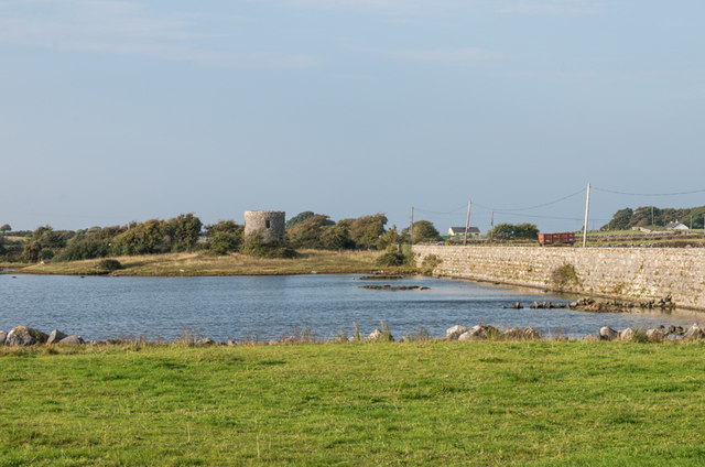 Tide millTide mill, unclassified · 417 yd
 dam/reservoir/basindam/reservoir/basin · 419 yd
 Francis WellHoly well · 478 yd
 Bush IslandIslet · 798 yd
 IndicatedFairy fort / stone ringfort · 1036 yd
 Traught BeachBeach / strand · 1237 yd
 Seal IslandIslet · 1471 yd
 Castle in ruinsCastle, unclassified · 1.5 mi
 Abbey HillMountain / peak · 2.7 mi
 Dunguaire CastleCastle · 3.0 mi
 Mweenish PointHeadland · 3.1 mi
 Corcomroe AbbeyVisitor information · 3.5 mi
Other information
Photo: Credit not shown in the picture search · Rights wording not checked; contact us if this picture should be removed