
What is recorded here
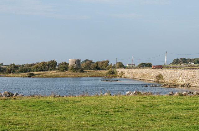
Rubble limestone causeway, built c.1800, carrying road over inlet of Kinvara Bay. Battered walls having squared limestone copings, missing in places. East-facing wall built up. Drainage holes with limestone bases to west elevation. Sluice to south-east of causeway having tooled stone wall and metal gate, lined by rubble stone.
This causeway forms a group with the adjacent mill, for which it was built as a tidal dam, and as such, is of great technical interest to the area. Its length and stature make a strong impression in the landscape.
This does not grant access. Most recorded buildings are privately owned; view them only from public ground unless the owner allows entry.
Places near here
 Tide millTide mill, unclassified · 115 yd
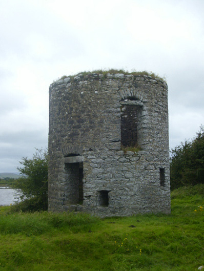 mill (tide)mill (tide) · 115 yd
 Bush IslandIslet · 409 yd
 Patricks WellHoly well · 419 yd
 IndicatedFairy fort / stone ringfort · 726 yd
 Traught BeachBeach / strand · 1058 yd
 Seal IslandIslet · 1113 yd
 Castle in ruinsCastle, unclassified · 1.7 mi
 Dunguaire CastleCastle · 2.9 mi
 Abbey HillMountain / peak · 2.9 mi
 Mweenish PointHeadland · 2.9 mi
 Corcomroe AbbeyVisitor information · 3.8 mi
Other information
Photo: SíodaPhotography · CC BY-SA 4.0