What is recorded here
In level pastureland. Marked on the 1838 edition of the OS 6-inch map as a circular enclosure (diam. c. 40m); partially levelled by the time of 3rd edition (1922). All that survives is the arc of a double-faced drystone wall (Wth 3m; H 1.6m) from S through W to NW.
From the National Monuments Service (Archaeological Survey of Ireland) record GA102-028
The monument record does not grant public access. Check the route and ask the landowner before entering private land.
- What survives
- Recorded monument
Places near here
Photo credits
- National Inventory of Architectural Heritage
- Ian Capper, Geograph · CC BY-SA 2.0
- Wanfried-Dublin, Wikimedia Commons · CC BY 4.0
- Joseph McGinley, Geograph · CC BY-SA 2.0
- Ian Capper, Wikimedia Commons · CC BY-SA 2.0
- Boomur, Wikimedia Commons · CC BY-SA 3.0
- Jonathan Thacker, Geograph · CC BY-SA 2.0
- A McCarron, Wikimedia Commons · CC BY-SA 2.0
- Luisteix, Wikimedia Commons · CC BY-SA 4.0
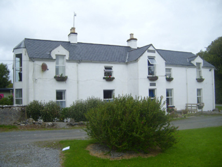 Doorus HouseHouse · 243 yd
 Traught BeachBeach / strand · 473 yd
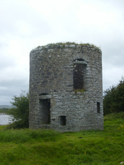 mill (tide)650 yd
.jpg/250px-DoorusDemesne_(3).jpg "Photo: Wanfried-Dublin, Wikimedia Commons · CC BY 4.0") Wedge tomb in Doorus DemesneWedge tomb · 1.2 mi
Wedge tomb in Doorus DemesneWedge tomb · 1.2 mi Island EddyIsland · 1.8 mi
 CastleCastle, tower house · 2.9 mi
 Dunguaire CastleCastle · 3.0 mi
 Abbey HillMountain / peak · 3.3 mi
 InishcorraIslet · 3.5 mi
 Saint Patrick's ChurchHeritage attraction · 4.1 mi
 Corcomroe AbbeyVisitor information · 4.1 mi
 Corcomroe Abbey Geopark SiteVisitor information · 4.1 mi
More archaeology and monuments in County Galway · All of County Galway
What do you know about this place?