
What is recorded here
In rolling pastureland, at the bottom of an E-facing slope. This spring well, named ‘Francis’ Well’ in Gothic script on the 1838 and 1922 editions of the OS 6-inch maps, was surrounded by an irregularly shaped and much-collapsed roughly coursed mortared limestone wall (c. 4.5m N-S; max. 1.6m E-W) with a flight of five steps (L 2.1m; Wth 1.2m) at its S end. Two steps were visible at the N end but heavy overgrowth formed a canopy over most of this part of the well making it impossible to distinguish its N limit. A stone trough fed by a cut-stone chute was visible at SW. A curving arc of large limestone blocks, some collapsed, ran from NE through E to SE c. 4m from the well and a curving field wall adjoined it at W and continued NE. No votive offering were evident. (Korff and O’Connell 1985, 28)
Compiled by: Galway Archaeological Survey, UCG
Date of upload: 9 May 2023
Linked to Saint Francis, the well is traditionally associated with healing and protection, with local folklore suggesting that water from the well was used to cure ailments and ward off illness. The site’s long-standing veneration is evidenced by its consistent naming on early Ordnance Survey maps.
The monument record does not grant public access. Check the route and ask the landowner before entering private land.
- What survives
- Recorded monument
Places near here
 Hermitage HouseRuins · 155 yd
 Patricks WellHoly well · 478 yd
 IndicatedFairy fort / earthen ringfort · 793 yd
 dam/reservoir/basindam/reservoir/basin · 848 yd
 Bush IslandIslet · 1148 yd
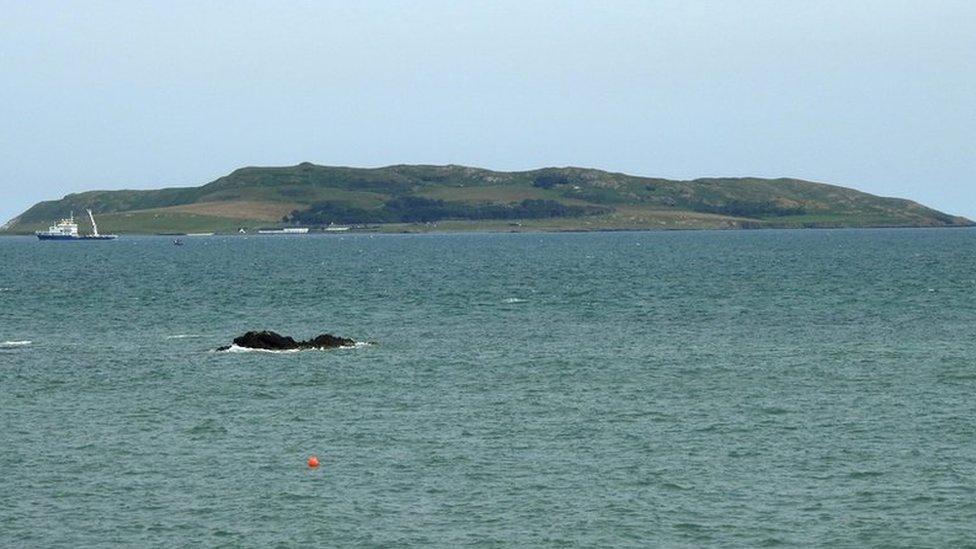 Lambs IslandIslet · 1360 yd
 Traught BeachBeach / strand · 1699 yd
 Castle in ruinsCastle, unclassified · 1.3 mi
 Abbey HillMountain / peak · 2.4 mi
 Dunguaire CastleCastle · 3.1 mi
 Corcomroe AbbeyVisitor information · 3.3 mi
 Corcomroe Abbey Geopark SiteVisitor information · 3.3 mi
Other information
Photo: Credit not shown in the picture search · Rights wording not checked; contact us if this picture should be removed