What is recorded here
At HWM on S shore close to the head of Killary Harbour and c. 20m from road. It consisted of a hollow (not a spring), now filled in, which was situated in SW corner of a small, low, subrectangular drystone enclosure (L 3.5m, Wth 2.3m) with an entrance on S side. The base of a modern concrete cross is visible at W end. A fish used to be seen in the hollow but the well has not been frequented recently (pers. comm. T. Robinson). I - West Galway'.
At HWM on S shore close to the head of Killary Harbour and c. 20m from road. It consisted of a hollow (not a spring), now filled in, which was situated in SW corner of a small, low, subrectangular drystone enclosure (L 3.5m, Wth 2.3m) with an entrance on S side. The base of a modern concrete cross is visible at W end. A fish used to be seen in the hollow but the well has not been frequented recently (pers. comm.…
From the National Monuments Service (Archaeological Survey of Ireland) record GA012-002
The monument record does not grant public access. Check the route and ask the landowner before entering private land.
- What survives
- Recorded monument
Places near here
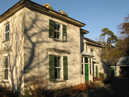 Aasleagh RectoryRectory/glebe/vicarage/curate's house · 555 yd
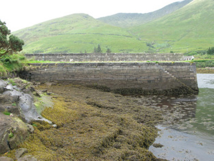 pier/jetty561 yd
 Aasleagh WaterfallWaterfall · 1359 ydTobermurryHoly well · 1.2 miThe Sheep And Wool Heritage CentreHeritage attraction · 1.2 mi
 Devilsmother Far North TopMountain / peak · 1.7 miWaterfallHeritage attraction · 2.0 mi
 Ben GormMountain / peak · 2.3 miTobernashaght-ninneenHoly well · 3.3 mi
 Sheeffry PassMountain pass · 3.7 mi
 Hawthorn3.9 mi
 Scots Pine4.1 mi
Pictures: National Inventory of Architectural Heritage; Steve Edge, Wikimedia Commons · CC BY-SA 2.0; Richard Webb, Geograph · CC BY-SA 2.0; Keith Salvesen, Wikimedia Commons · CC BY-SA 2.0; Keith Salvesen, Geograph · CC BY-SA 2.0; Didier Descouens, Wikimedia Commons · CC BY-SA 4.0; Hello, I am Bruce on Flickr, Wikimedia Commons · CC BY-SA 2.0
More archaeology and monuments in County Galway · All of County Galway
What do you know about this place?