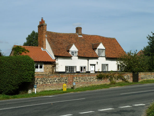
What is recorded here
In improved pasture on a W-facing slope. Known locally as St. James' Well and is associated with St. James' Church (TS062-096----) and graveyard (TS062-096001-) c. 200m to S. Two ringforts (TS062-089---- and TS062-097----) are located c. 120m and 220m to the NE and S respectively. According to local information the well was stone-lined and had been used to pipe water to Peppardstown House, which is c. 80m to the SW, before being blocked up. It is not visible at ground level.
Compiled by: Jean Farrelly
Date of upload: 26 August 2011
St. James Well is associated with the veneration of St. James the Greater, a patron saint traditionally linked with pilgrimages and healing. The well may have been a site of early Christian pilgrimage or local devotion, possibly connected to the nearby church and graveyard.
The monument record does not grant public access. Check the route and ask the landowner before entering private land.
- What survives
- Recorded monument
Places near here
 Peppardstown Househouse · 92 yd
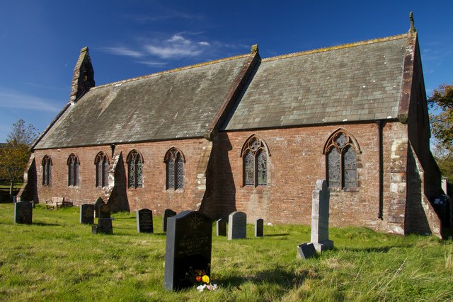 Site of St. James ChurchChurch · 188 yd
 Enclosure in KnockkellyEnclosure · 470 yd
 Saint Johnstown CastleCastle · 1.0 mi
 St. Johnstown ChurchChurch · 1.0 mi
 Knockkelly CastleCastle · 1.1 mi
 Kilknockan HillMountain / peak · 2.3 mi
 Eagle HillMountain / peak · 2.6 mi
 East GateMemorial · 3.4 mi
 European YewEuropean Yew · 3.5 mi
 Grove WoodForest · 4.3 mi
 Gobban Saer's GraveArchaeological place · 7.1 mi
Other information
Photo: Credit not shown in the picture search · Rights wording not checked; contact us if this picture should be removed