What is recorded here
Fairy fort / earthen ringfort in Knockkelly is a fairy fort or earthen ringfort in Knockkelly, County Tipperary, Ireland. The oval site spans roughly 50 metres north to south and 55 metres east to west, with an inner bank, a deep intervening ditch, an outer bank and a second outer ditch. The defences are broad from north-northwest through north to northeast but shallow there, while they deepen from northeast through east to southeast. The interior slopes steadily toward the west-southwest and remains obscured by vegetation.
In woodland, on a WSW-facing slope; enclosed by forestry plantation to N and E. Another bivallate ringfort (TS062-088----) lies c. 300m to the N and an enclosure (TS062-098----) lies c. 200m to the E. A substantial oval area (dims. c. 50m N-S; c. 55m E-W) defined by an inner bank (overall Wth 10.9m; Wth at top 1.4m; int. H 2.2m; ext. H 2.0m); a substantial U-shaped intervening fosse (overall Wth 9m; basal Wth 2.0m; D 3.3m); a substantial outer bank (overall Wth 7.8-11.5m; Wth at top 1.8-2.0m; int. H 3.15m; ext. H 2.6m) and an outer fosse (overall Wth 11m; basal Wth 2.5m; D 2.4m) is broad NNW-N-NE, yet shallow and deepens NE-E-SE. There is a pronounced berm (Wth 0.5m; H 0.2m) halfway up the outer side, visible from ENE-E-SE which is obscured by overgrowth from SE-S-SW, where it may be truncated by a field boundary. The inner bank has a gap (Wth 4.2m) at WSW and narrow gap (Wth 2.2m) at NW. The intervening fosse is largely obscured by overgrowth with a possible causewayed at WSW. The outer bank has a berm (Wth 2m; H 0.3m) on the inner side, halfway up bank, visible from NW-N-ESE and has a gap at WSW (Wth 4.2m) and NW (Wth 2.2m). The interior has a steady WSW-facing slope and is obscured by vegetation.
Compiled by: Jean Farrelly
Date of upload: 26 August 2011
The monument record does not grant public access. Check the route and ask the landowner before entering private land.
- What survives
- Recorded monument
Places near here
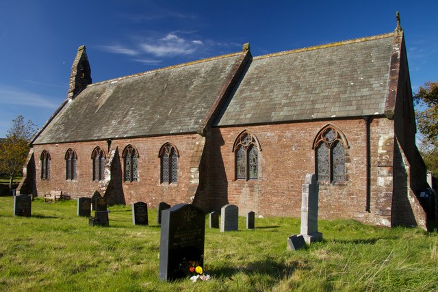 Site of St. James ChurchChurch · 124 yd
 Peppardstown Househouse · 222 yd
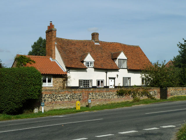 St. James WellHoly well · 296 yd
 Knockkelly CastleCastle · 1720 yd
 Saint Johnstown CastleCastle · 1.2 mi
 St. Johnstown ChurchChurch · 1.2 mi
 Kilknockan HillMountain / peak · 2.2 mi
 Eagle HillMountain / peak · 2.8 mi
 East GateMemorial · 3.2 mi
 European YewEuropean Yew · 3.3 mi
 Grove WoodForest · 4.1 mi
 Gobban Saer's GraveArchaeological place · 7.2 mi