
Places near here
Photo credits
- National Inventory of Architectural Heritage
- Mike Searle, Geograph · CC BY-SA 2.0
- Kmcnamee, Wikimedia Commons · CC BY-SA 4.0
- Buttevant GAA club account; individual photographer not stated, x.com
- The Echo; individual photographer not stated, www.echolive.ie
- Mike Searle, Wikimedia Commons · CC BY-SA 2.0
 Scart BridgeBridge · 1554 yd
Explorer Tom Scart Bridge is a triple-arch limestone monster over the Upper Awbeg. Built c. 1790, it’s got dressed voussoirs and…
 Castle WrixonHouse · 1.1 mi
Explorer Tom Castle Wrixon is a late 18th-century gent’s home that probably still smells like expensive tobacco and bad decisions.…
 Walshestown HouseHouse · 1.1 mi
Explorer Tom Walshestown House in Walshestown is built from rubble of Welchestown Castle and has a round-headed door opening with…
 Ballyhoura LodgeHouse · 1.2 mi
Explorer Tom Ballyhoura Lodge has projecting end bays that give it real character and substance. The slate roof is interesting…
 Velvetstown HouseDemesne walls/gates/railings · 1.4 mi
Explorer Tom Velvetstown House has a gateway that mixes cast and wrought iron in a way that looks like it was designed by someone…
 Ballyhoura BridgeBridge · 1.5 mi
Explorer Tom Ballyhoura Bridge smells like wet wool and old dreams, according to my sensitive nose. It’s built at a skew to the…
 Templeconnell Castle (in Ruins)Castle, tower house · 2.2 mi
Explorer Tom Templeconnell Castle is a five-storey tower that looks like it went to war with gravity and lost slightly. The…
 Churchtown GAA pitchGAA ground · 2.5 mi
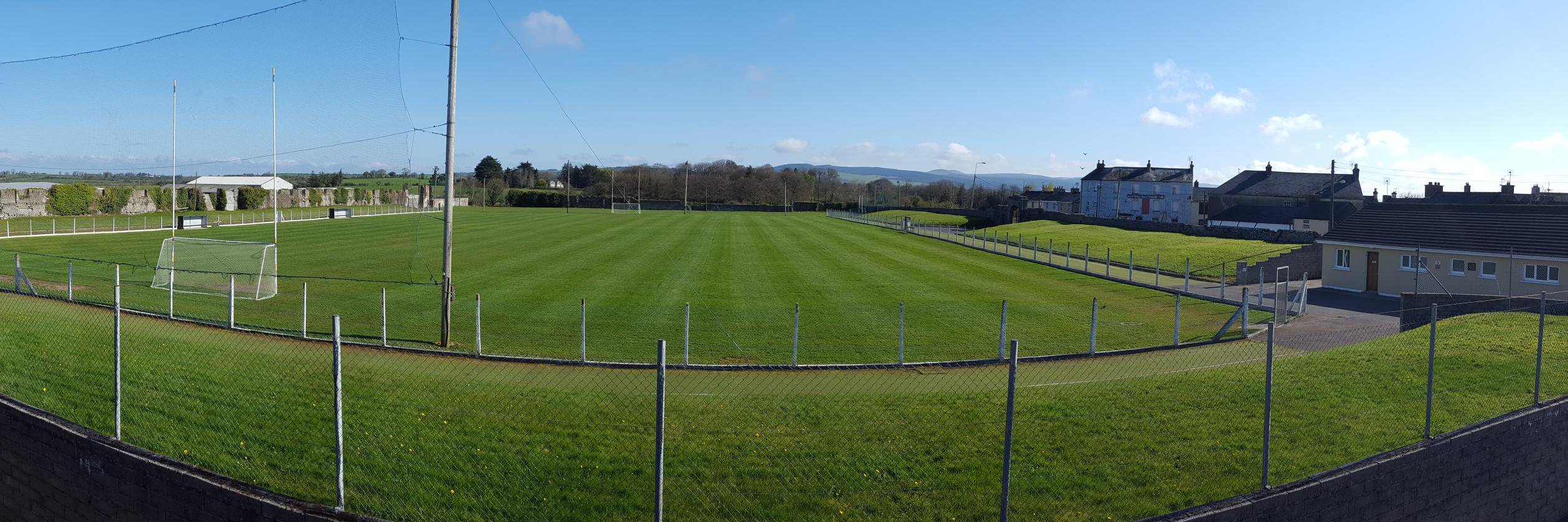 Buttevant GAA pitchGAA ground · 3.1 mi
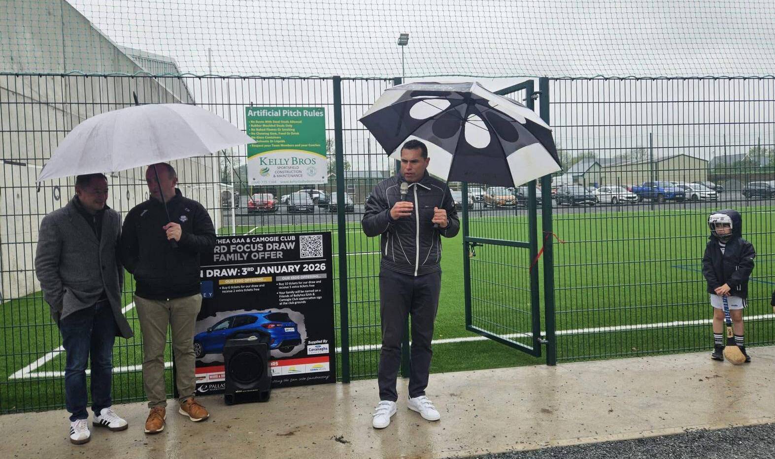 Ballyhea GAA pitchGAA ground · 3.2 mi
 Cregane HouseHouse · 4.0 mi
Explorer Tom Cregane House in Creggannacourty has limestone steps that get smaller the closer you get, which is either clever design…
 Lisgriffin CastleCastle · 4.8 mi
Explorer Tom Lisgriffin Castle in County Cork is just standing there with a look that says 'I have seen things.' It might be waiting…
More archaeology and monuments in County Cork · All of County Cork

What do you know about this place?Tap to add a comment or ask a question