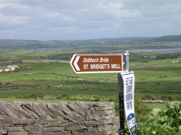
What is recorded here
Described as St. Bridget’s Well only on the 1924 ed. of the OS 6-inch map, and located on a gentle NW-facing slope on the SE side of the River Sow basin. John O’Donovan writing c. 1840 records the name but says it had been disused for 20 years and the pattern was not remembered (O’Flanagan 1933, vol. 2, 222). There is no visible evidence of a well. Killisk church (WX027-025001-) is c. 350m to the S.
Compiled by: Michael Moore
Date of upload: 18 July, 2012
St. Bridget’s Well is associated with Brigid of Kildare, a prominent early Irish Christian saint linked to healing and fertility. Traditionally, the well may have been visited for its curative properties, particularly for ailments of the eyes and childbirth, with rituals often involving the collection of water on specific holy days.
The monument record does not grant public access. Check the route and ask the landowner before entering private land.
- What survives
- Recorded monument
Places near here
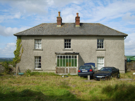 farm housefarm house · 1350 yd
 Enclosure in Ballina Lower (ballaghkeen By., Kilmallock Ed)Enclosure · 1731 yd
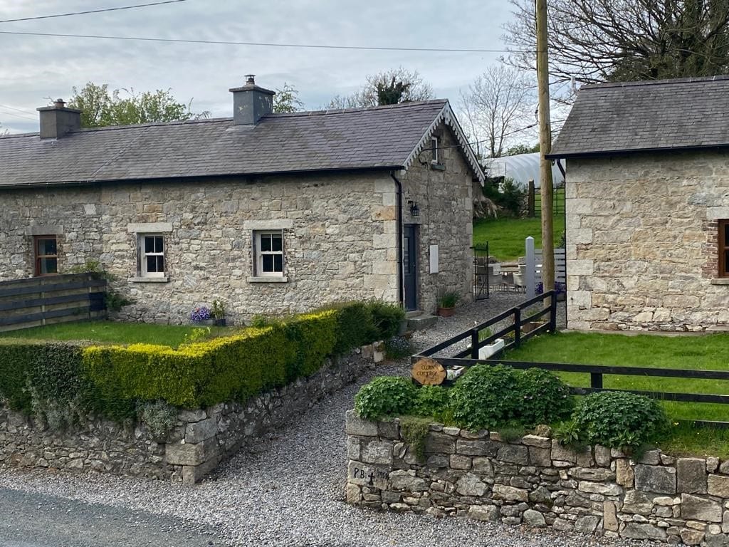 Enclosure in Clonmore LowerEnclosure · 1.4 mi
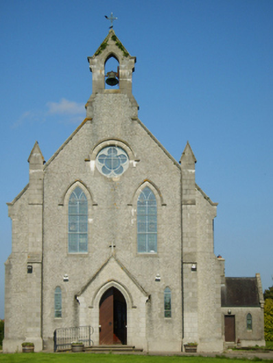 Catholic Church of Saint John the Baptistchurch/chapel · 1.4 mi
 Ballinkeel Castle (in ruins)Castle, unclassified · 2.2 mi
 1798 MonumentMemorial · 2.2 mi
 1798 MemorialMemorial · 3.1 mi
 Battle of Oulart Hill signVisitor information · 3.5 mi
 Scurlocksbush HillMountain / peak · 3.8 mi
 Oulart HillMountain / peak · 4.0 mi
 CastleCastle, unclassified · 4.3 mi
 Battle of Vinegar Hill, 1798Monument · 5.2 mi
Other information
Photo: Credit not shown in the picture search · Rights wording not checked; contact us if this picture should be removed