
What is recorded here
Graveyard with collection of cut-limestone markers, ob. 1821-1953. Set in landscaped grounds with coursed rubble stone boundary wall to perimeter having rubble stone soldier course coping.
A graveyard representing an integral component of the ecclesiastical heritage of County Wexford.
This does not grant access. Most recorded buildings are privately owned; view them only from public ground unless the owner allows entry.
Places near here
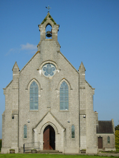 Catholic Church of Saint John the Baptistchurch/chapel · 47 yd
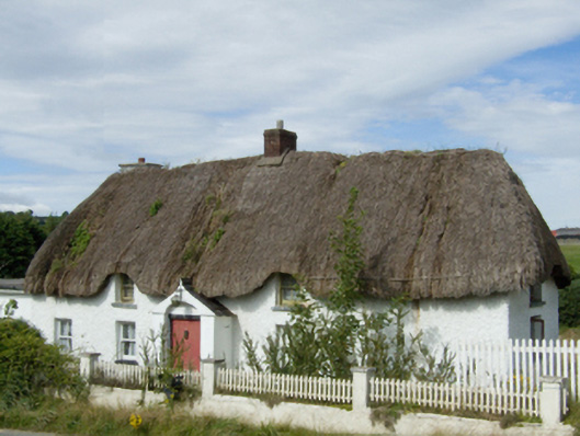 farm housefarm house · 738 yd
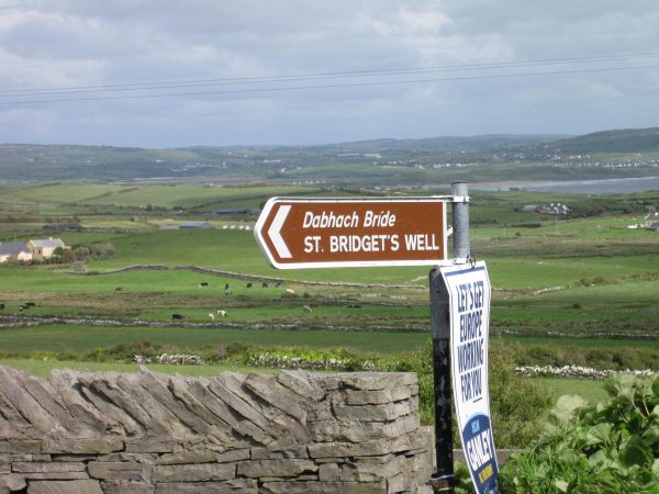 St, Bridgets WellHoly well · 1.4 mi
 1798 MonumentMemorial · 1.5 mi
 IndicatedEnclosure · 1.5 mi
 1916 MemorialMemorial · 2.0 mi
 Battle of Oulart Hill signVisitor information · 2.2 mi
 Embanked enclosureCastle, motte · 2.3 mi
 Oulart HillMountain / peak · 2.7 mi
 Ballingowan MoteCastle, motte · 3.3 mi
 71Mountain / peak · 4.4 mi
 Fontainebleau service treeFontainebleau service tree · 4.6 mi
Other information
Photo: National Inventory of Architectural Heritage · Website use allowed for educational or private purposes with source credit