
What is recorded here
This is one of five leabaí or grave-plots (see also GA110-023002-, GA110-023003-, GA110-023005- and GA110-023009-) associated with Teampall Bhreacáin (GA110-010001-) and Teampall an Phoill (GA110-010003-). This example, known as Leaba Bhreacáin, is to the SW Teampall Bhreacáin. It consists of a low subrectangular…
Read the whole record
From the National Monuments Service (Archaeological Survey of Ireland) record GA110-023001
Places near here
Photo credits
- Ronan Mac Giollapharaic, Wikimedia Commons · CC BY-SA 4.0
- Ian Capper, Wikimedia Commons · CC BY-SA 2.0
- National Inventory of Architectural Heritage
- Maker not stated on source page, www.pinterest.com
- Ian Capper, Geograph · CC BY-SA 2.0
- Maker not stated on source page, www.tripadvisor.ca
- N Chadwick, Wikimedia Commons · CC BY-SA 2.0
- Doonaran, Wikimedia Commons · CC BY-SA 4.0
- Maker not stated on source page, www.alamy.com
- Herbert Ortner, Wikimedia Commons · CC BY 3.0
 TemplebrecanChurch · 21 yd
Explorer Tom Templebrecan in Eoghanacht is locked in a bitter feud with the rain. St Brecan probably just wanted a dry nap, but the…
 Na Seacht dTeampaillHeritage attraction · 24 yd
Explorer Tom Na Seacht dTeampaill would describe itself to a stranger as 'a group of seven very chatty old friends who never go…
 outbuilding89 yd
Explorer Tom Outbuilding in Onaght is hiding a ridiculous smuggling story about cheese smugglers using the thatch. It’s tiny and…
 Memorial stone in EoghanachtMemorial stone · 340 yd
Explorer Tom Memorial stone in Eoghanacht holds a plaque for Laurence M Donogh, dated 1814, which sounds like the start of a…
 Séipéal Pádraig agus Éinne NaomhthaChurch/chapel · 345 yd
Explorer Tom Séipéal Pádraig agus Éinne Naomhtha in Onaght is judging your outfit as you walk past. It’s a 1958 gem with sloping…
 Holy well in EoghanachtHoly well · 345 yd
Explorer Tom Holy well in Eoghanacht is called Bullán na Caillí, which sounds like a curse but is just an old lady’s name. It’s a…
 Scoil Náisiúnta Eoin Pól IISchool · 503 yd
Explorer Tom Scoil Náisiúnta Eoin Pól II on Inis Mór is the only building the rabbits respect for its steeply pitched roof. It’s…
 Dun OnaghtFairy fort / stone ringfort · 726 yd
Explorer Tom Dun Onaght has a massive rampart that looks like a stone donut. It's got two terraces and steps, which is fancy for a…
 Dún EoghanachtaVisitor attraction · 728 yd
Explorer Tom Dún Eoghanachta is probably why map makers keep getting it wrong; it just shifts position slightly whenever they aren't…
 Clochan na CarraigeClochan · 1370 yd
Explorer Tom Clochan na Carraige would complain to the council about the lack of parking spots for its ancient chariot wheels. It’s…
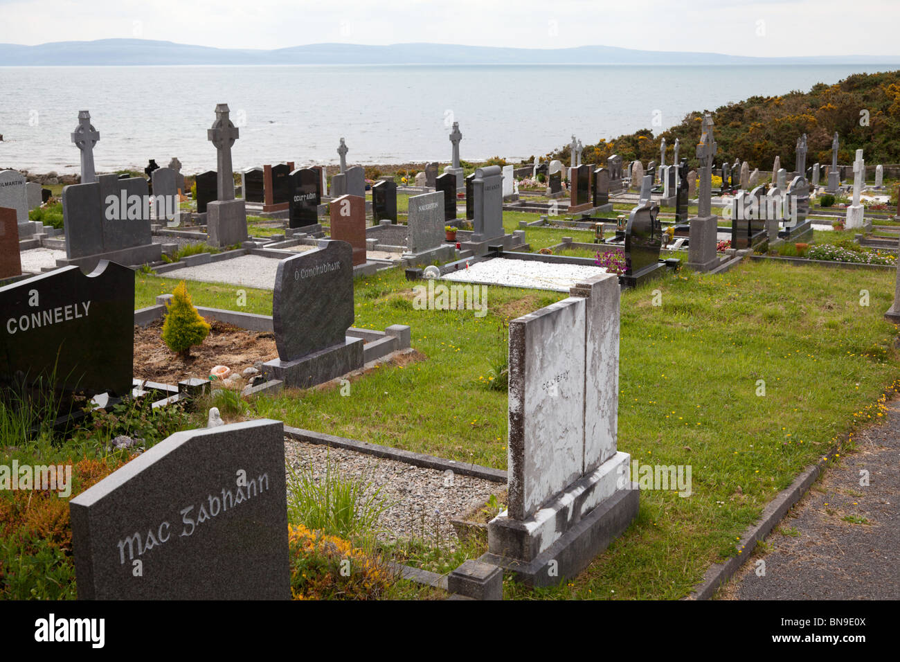 Mapped cemeteryCemetery · 1.5 mi
Explorer Tom This mapped cemetery in Galway does absolutely nothing when nobody is looking, which is impressive for a place that…
 ÁrainnIsland · 2.7 mi
Explorer Tom Call Árainn by the map's other name and it may forgive you eventually. Árainn has been called Inishmore so often that…
More archaeology and monuments in County Galway · All of County Galway

What do you know about this place?Tap to add a comment or ask a question