
What is recorded here
Map note: Find the recorded point for Slieveboy, a mountain or peak in County Wicklow, Ireland. The name does the climbing; the map shows where to look.
Slieveboy is recorded as a mountain / peak in County Wicklow.
From OpenStreetMap (© OpenStreetMap contributors) n2007230486
Places near here
Photo credits
- Schcambo at English Wikipedia, Wikimedia Commons · Public domain
- National Inventory of Architectural Heritage
- Maker named on the Wikimedia Commons picture page · CC BY-SA 2.5
- Dedublinfan, Wikimedia Commons · CC BY-SA 4.0
- The Vicious Chicken of Bristol, Wikimedia Commons · CC BY-SA 4.0
Enclosure in Slievenamough PlainEnclosure · 1371 ydThe Stripped FlagsNamed rock · 1.5 miEnclosure in ToorboyEnclosure · 1.6 miThe Black StairsNamed rock · 2.2 mi SlievemaanMountain / peak · 2.3 miAghavannagh BarrackBarracks · 2.3 miByrneHouse · 2.8 miCorrigasleggaunMountain / peak · 2.9 miCastleCastle, motte · 3.0 miSessile Oak4.0 miDwyer McAllister CottageMuseum · 4.3 miBattle of GlenmalureMajor battlefield · 5.1 mi
 SlievemaanMountain / peak · 2.3 mi
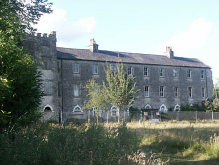 Aghavannagh BarrackBarracks · 2.3 mi
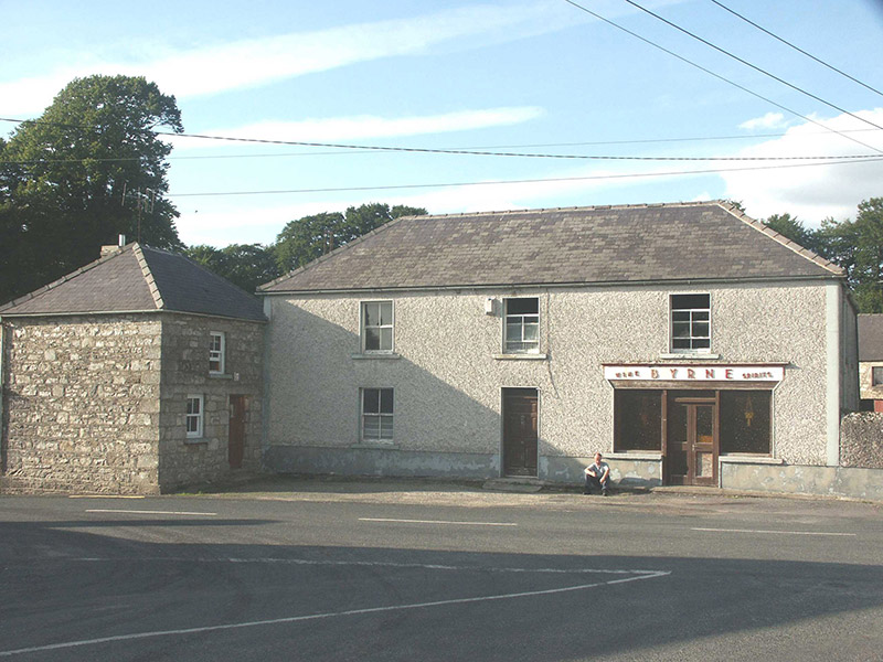 ByrneHouse · 2.8 mi
 CorrigasleggaunMountain / peak · 2.9 miCastleCastle, motte · 3.0 mi
 Sessile Oak4.0 mi
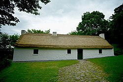 Dwyer McAllister CottageMuseum · 4.3 mi
 Battle of GlenmalureMajor battlefield · 5.1 mi
More mountains and hills in County Wicklow · All of County Wicklow

What do you know about this place?Tap to add a comment or ask a question