
What is recorded here
On a marked S to SE-facing slope in modern forestry. A very small circular feature (diam. c. 10m) is visible on the 1839 ed. of the OS 6-inch map and there is a reference in the Ordnance Survey Name Book 1838-40 (Kiltegan parish, 13) to ‘one small rath in Townland’. No visible trace at ground level.
Compiled by: Mary Tunney
Date of upload: 19 December 2012
This remains an important historical record, but the official description says the monument is no longer visible or has been destroyed. The monument record does not grant public access. Check the route and ask the landowner before entering private land.
- What survives
- No visible remains or recorded as destroyed
Places near here
 Enclosure in Kilcarney LowerEnclosure · 1.2 mi
 Enclosure in ToorboyEnclosure · 1.6 mi
 The Stripped FlagsNamed rock · 2.0 mi
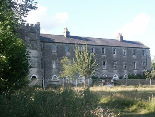 Aghavannagh Barrackbarracks · 2.4 mi
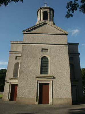 Saint Mary's Catholic Churchchurch/chapel · 2.6 mi
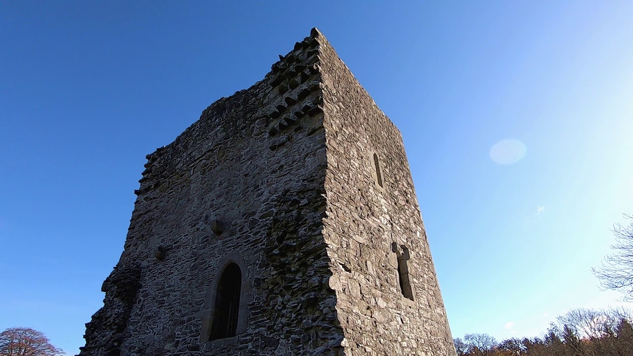 CastleCastle, motte · 2.6 mi
 The Black StairsNamed rock · 3.0 mi
 SlievemaanMountain / peak · 3.0 mi
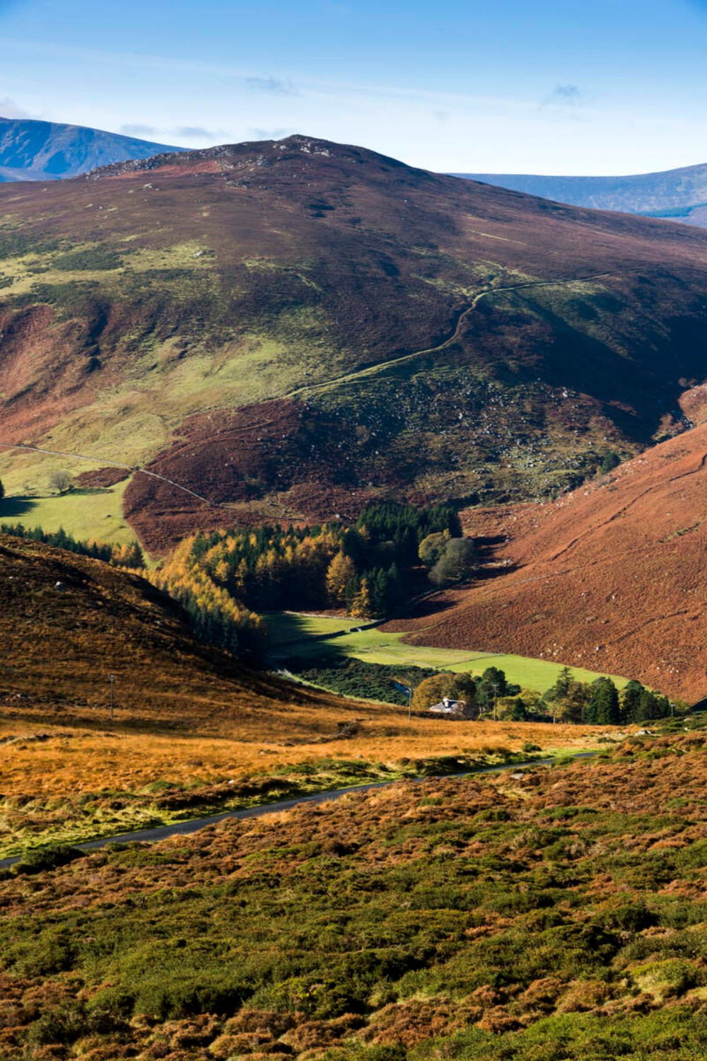 Ballycurragh HillMountain / peak · 3.2 mi
 Sessile OakSessile Oak · 3.5 mi
 Drumgoff Forest Recreation AreaForest · 3.7 mi
 Dwyer McAllister CottageMuseum · 4.7 mi
Other information
Photo: Credit not shown in the picture search · Rights wording not checked; contact us if this picture should be removed