What is recorded here
Kilshanahan’s parish church vanished entirely, leaving no visible trace despite marking the northern graveyard half on a 1935 survey. A 1700 account described a tiny stone-and-clay building reduced to an ivy-strangled west wall, proving even humble worship places can disappear completely. The empty ground still holds the shape of lost prayer, waiting for imagination to restore what decay erased.
'Site of Church' marked on 1935 OS 6-inch map in N half of graveyard (CO044-026001-); no visible surface trace. This was parish church of Kilshanahan; in 1700 reported that 'church built of stone and clay, and is altogether ruinous; only the west end is standing covered with ivy; it was a very small church' (Brady 1863, vol. 1, 154).
The above description is derived from the published 'Archaeological Inventory of County Cork. Volume 2: East and South Cork' (Dublin: Stationery Office, 1994). In certain instances the entries have been revised and updated in the light of recent research.
Date of upload/revision: 14 January 2009
The monument record does not grant public access. Check the route and ask the landowner before entering private land.
- What survives
- Recorded monument
Places near here
 IndicatedEcclesiastical enclosure · 18 yd
 Burnt mound in Ballinaltig (barrymore By.)Burnt mound · 291 yd
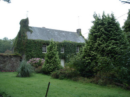 Bushy Park Househouse · 1408 yd
 Scartbarry Househouse · 1418 yd
 Castle (in Ruins)Castle, unclassified · 1.4 mi
 Devonshire's HillMountain / peak · 2.1 mi
 Graveyard in Killuntin NorthGraveyard · 2.8 mi
 Rathcormac massacremassacre · 2.8 mi
 Monananig WoodsWood · 2.8 mi
 Tower (in Ruins)Bawn · 3.1 mi
 Moanbaun ForestForest · 3.3 mi
 Graveyard in GlenvilleGraveyard · 4.1 mi