
What is recorded here
In re-seeded pasture. An irregularly shaped spread (28m N-S; 22m E-W) of heat-shattered stones and charcoal-enriched soil. A second possible burnt mound (CO044-067002-) lies c. 50m to the NNW, a third (CO044-068----) c. 200m to NNE and a burnt mound (CO044-067003-) lies c. 100m to the NNW.
The above description is derived from 'The Archaeological Inventory of County Cork. Volume 5' (Dublin: Stationery Office, 2009).
Date of upload: 22 December 2009
Burnt mound (fulacht fiadh), likely dating to the Bronze Age. These features are significant as they provide evidence of prehistoric activity, possibly related to cooking, hide-scalding, or ritual practices.
The monument record does not grant public access. Check the route and ask the landowner before entering private land.
- What survives
- Recorded monument
Places near here
 IndicatedEcclesiastical enclosure · 293 yd
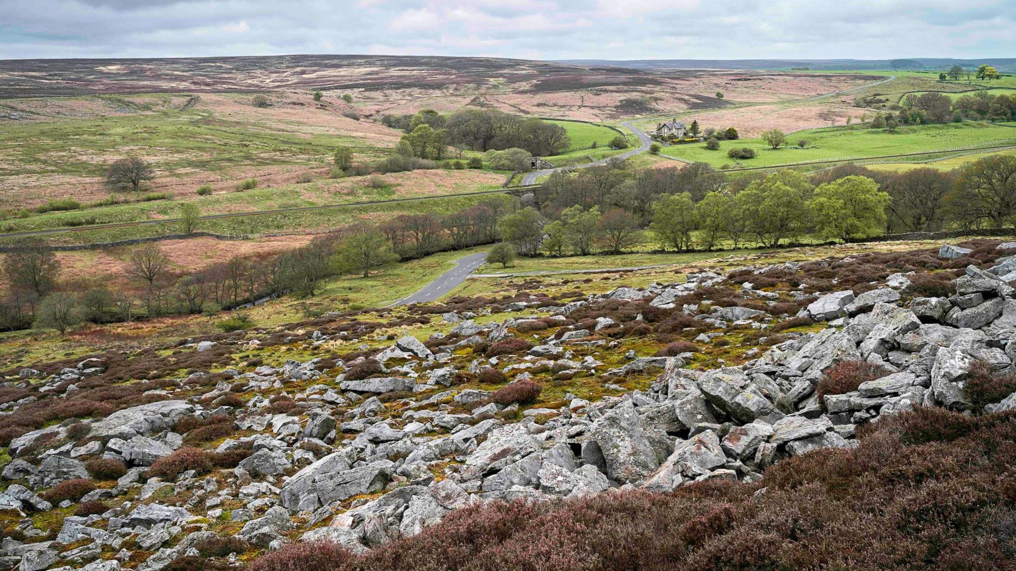 Burnt mound in MountcatherineBurnt mound · 945 yd
 Scartbarry Househouse · 1174 yd
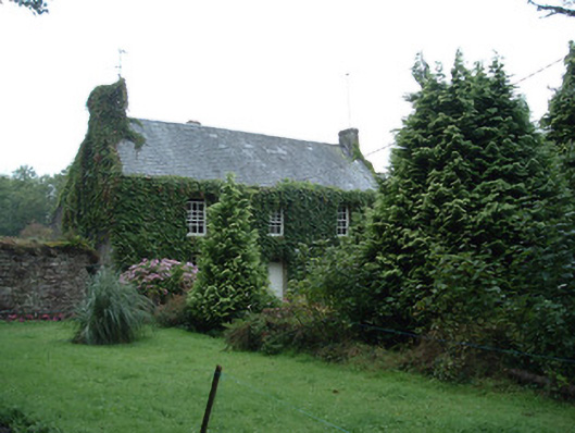 Bushy Park Househouse · 1592 yd
 Castle (in Ruins)Castle, unclassified · 1.5 mi
 Devonshire's HillMountain / peak · 2.0 mi
 Rathcormac massacremassacre · 2.6 mi
 Monananig WoodsWood · 2.7 mi
 Graveyard in Killuntin NorthGraveyard · 2.9 mi
 Tower (in Ruins)Bawn · 3.0 mi
 Moanbaun ForestForest · 3.3 mi
 Graveyard in GlenvilleGraveyard · 4.2 mi
Other information
Photo: Credit not shown in the picture search · Rights wording not checked; contact us if this picture should be removed