
What is recorded here
Indicated is a vanished church circle beneath Cork pasture, preserving only a grave yard and faint bank markers. Power identified the site as Cill Seanchan, yet he confessed he could not name the man being honoured. The land still holds the shape of that forgotten devotion, waiting for someone to remember why it was built.
In pasture, on S-facing slope. Aerial photograph (CASAP, Summer 1989) shows crop-mark of large circular enclosure (diam. c. 90m) with Ballinaltig graveyard (CO044-02601-) in SE quadrant; arc of earthen bank (ext. H 2.5m) on S side of grave yard may be surviving portion of bank. Arc of bank to N shown as part of field fence system on 1935 OS 6-inch map. According to Power (1923, 180) site of 'Cill Séanacháin (Seanchan's church), unfortunately there is nothing by which we can identify this particular Seanchan'.
The above description is derived from the published 'Archaeological Inventory of County Cork. Volume 2: East and South Cork' (Dublin: Stationery Office, 1994). In certain instances the entries have been revised and updated in the light of recent research.
Date of upload/revision: 14 January 2009
The monument record does not grant public access. Check the route and ask the landowner before entering private land.
- What survives
- Recorded monument
Places near here
 Burnt mound in Ballinaltig (barrymore By.)Burnt mound · 293 yd
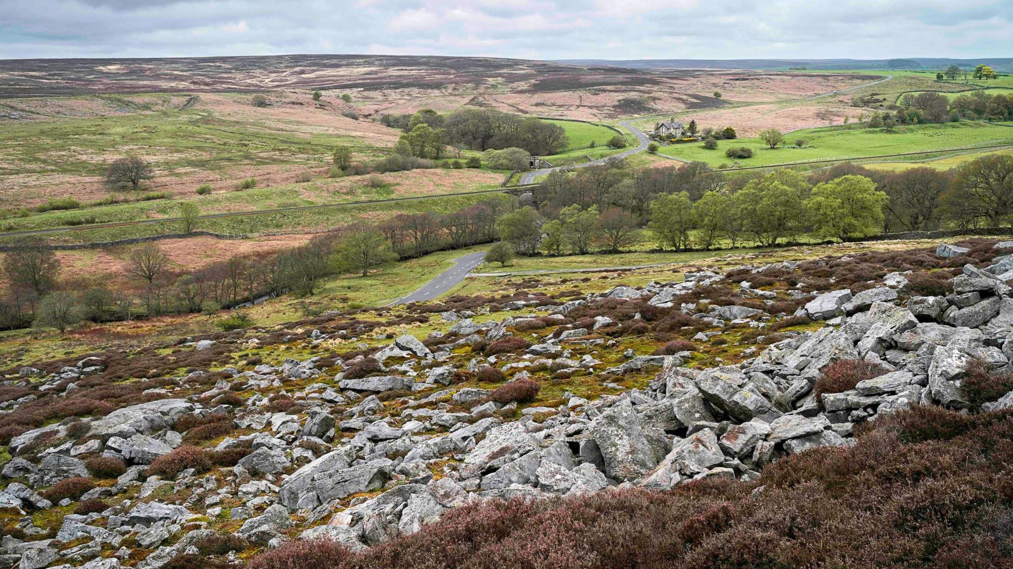 Burnt mound in MountcatherineBurnt mound · 675 yd
 Scartbarry Househouse · 1410 yd
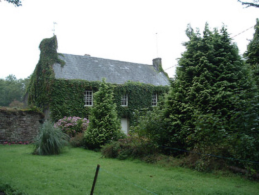 Bushy Park Househouse · 1422 yd
 Castle (in Ruins)Castle, unclassified · 1.4 mi
 Devonshire's HillMountain / peak · 2.1 mi
 Graveyard in Killuntin NorthGraveyard · 2.8 mi
 Rathcormac massacremassacre · 2.8 mi
 Monananig WoodsWood · 2.8 mi
 Tower (in Ruins)Bawn · 3.1 mi
 Moanbaun ForestForest · 3.3 mi
 Graveyard in GlenvilleGraveyard · 4.1 mi
Other information
Photo: Credit not shown in the picture search · Rights wording not checked; contact us if this picture should be removed