What is recorded here
No castle is recorded at Latimerstown, yet the 1839 map still points to a lost structure beside a narrow stream. Robert Roche held 128 acres there in 1641, while later surveyors left the place empty of fortification. The coniferous forest and old flax ponds may have swallowed the castle, or memory may have invented it.
There are no known references to a castle at Latimerstown. According to the Civil Survey 128 acres here were owned by Robert Roche, an Irish papist, in 1641 (Simington 1953, 299). A castle is not marked on the Down Survey map (1655-8) (Hore 1925, 36). The location is described as 'site of Castle' only on the 1839 ed. of the OS 6 inch map. It is situated in a coniferous forest on a level, low-lying landscape with a small NW-SE stream c. 30m to the SW. It is known locally that old flax retting ponds were in the locality and two NW-SE earthen banks remain from them. There are no visible remains of an antiquity visible at ground level.
The above description is derived from the published 'Archaeological Inventory of County Wexford' (Dublin: Stationery Office, 1996). In certain instances the entries have been revised and updated in the light of recent research.
Compiled by: Michael Moore
Date of upload/revision: 28 May, 2013
This remains an important historical record, but the official description says the monument is no longer visible or has been destroyed. The monument record does not grant public access. Check the route and ask the landowner before entering private land.
- What survives
- No visible remains or recorded as destroyed
Places near here
 Latimerstown Housefarm house · 184 yd
 farm housefarm house · 887 yd
 Dutchmans WellHoly well · 1262 yd
 Font in RathaspickFont · 1459 yd
 Site of CastleCastle, unclassified · 1.3 mi
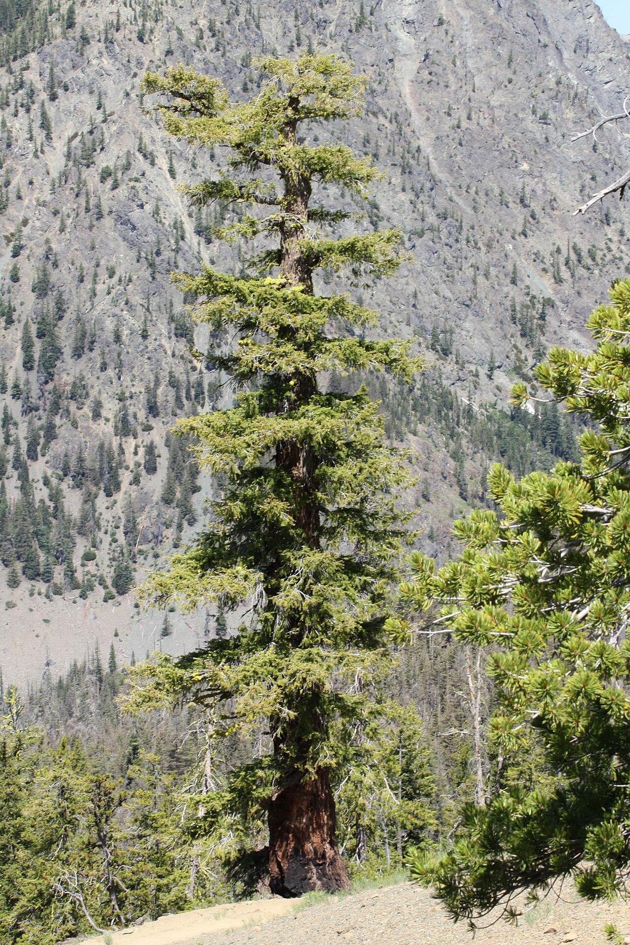 Douglas-firDouglas-fir · 1.3 mi
 16th Irish DivisionMemorial · 1.3 mi
 American SweetgumAmerican Sweetgum · 1.3 mi
 Irish Agricultural MuseumMuseum · 1.4 mi
 Johnstown Castle Visitor CentreHeritage attraction · 1.4 mi
 CastleCastle, tower house · 1.5 mi
 Lock Out GateMemorial · 2.1 mi