What is recorded here
Marked on the 1839 and 1925 eds of the OS 6-inch map where it is described as 'Dutchman’s Well' in gothic lettering on the former and italic on the latter. The name is thought to derive from two daughters of the Richards of Rathaspick House (WX042-008----) who married two Honoverian officers in 1802 (Jeffrey 1979, 30) and the adjective 'German' or 'deutsche' became attached to the well. Its ecclesiastical associations had been forgotten by the time John O’Donovan mentioned it c. 1840 (O’Flanagan 1933, vol. 1, 368). It is located in a small NW-SE valley with a stream c. 10m to the SW, and is now preserved under a man-hole. It has no ritual associations, although it is known locally as St. Bridget’s Well. Rathaspick church (WX042-010001-) is c. 250m to the SW.
Marked on the 1839 and 1925 eds of the OS 6-inch map where it is described as 'Dutchman’s Well' in gothic lettering on the former and italic on the latter. The name is thought to derive from two daughters of the Richards of Rathaspick House (WX042-008----) who married two Honoverian officers in 1802 (Jeffrey 1979, 30) and the adjective 'German' or 'deutsche' became attached to the well. Its ecclesiastical…
From the National Monuments Service (Archaeological Survey of Ireland) record WX042-009
The monument record does not grant public access. Check the route and ask the landowner before entering private land.
- What survives
- Recorded monument
Places near here
Photo credits
- National Inventory of Architectural Heritage
- Walter Siegmund (talk), Wikimedia Commons · CC BY-SA 3.0
- Jean-Pol GRANDMONT, Wikimedia Commons · CC BY 3.0
- David Hawgood, Wikimedia Commons · CC BY-SA 2.0
- Sheila1988, Wikimedia Commons · CC BY-SA 4.0
- Richard Webb, Geograph · CC BY-SA 2.0
 Rathaspick HouseGate lodge · 265 yd
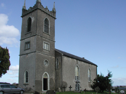 Rathaspick ChurchChurch/chapel · 268 ydFont in RathaspickFont · 278 yd
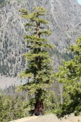 Douglas-fir1173 yd
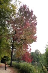 American Sweetgum1278 yd
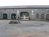 Johnstown CastleCastle · 1303 yd
 Irish Agricultural MuseumMuseum · 1457 ydCastleCastle, tower house · 1608 ydCastle (in ruinis)Castle, tower house · 1.3 mi16th Irish DivisionMemorial · 1.3 miSt. Davins WellHoly well · 1.4 mi
 Forth MountainMountain / peak · 2.9 mi
More archaeology and monuments in County Wexford · All of County Wexford
What do you know about this place?