
What is recorded here
Situated on a low N-S spur in deciduous woodland in a low-lying landscape. This is known as Rathlannon Castle, and it was part of Rathlannon townland until some time after the 1839 ed. of the OS 6-inch map was published. References date from the early 17th century, when it was held by the Esmonds of Johnstown (WX042-017----) (Jeffrey 1979, 31-2), and a castle is depicted on the Down Survey map (1655-8) in the NLI (ms 725; microfilm P7384, N6380) at Rathlannon in Kildavin parish. According to the Civil Survey (1654-5) Marcus Esmond owned 121 acres at Rathlannon in 1641 (Simington 1953, 301), and a John Esmond of Rathlannon was listed for transportation with four dependents in 1653 (Hore 1900-11, vol. 6, 502).
This is a rectangular tower (ext. dims. 9m NW-SE; 7.65m NE-SW) surviving complete to the stepped crenellations, but the interior is completely remodelled in brick. The walls have good quoins and a slight base-batter. The doorway, with a pointed arch of undressed stone, is towards the N end of the NE wall and is protected by machicolation at the second floor level and a murder hole in the lobby, both probably operated from a chamber at the second floor, although no barrel-vault survives. The upper three floors were supported on joists set into the NE and SW walls, but this is 18th or 19th century in date. The lobby leads to the ground floor and a mural stairs in the NW wall, now inaccessible. A newel stairs provides access from the second storey to the battlements, but no original internal features survive.
See the attached section from the Down Survey (1656-8) parish map (N at right) reproduced courtesy of the National Library of Ireland (Ms 725)
The above description is derived from the published 'Archaeological Inventory of County Wexford' (Dublin: Stationery Office, 1996). In certain instances the entries have been revised and updated in the light of recent research.
Compiled by: Michael Moore
Date of upload/revision: 17 July 2007
Rathlannon Castle, known locally as Castle, Johnstown, was likely built during the late medieval period by an unidentified Gaelic or Anglo-Irish lord for defensive purposes. It is remembered for its historical association with the Rathlannon townland and as a local example of a small castle in a low-lying landscape.
The monument record does not grant public access. Check the route and ask the landowner before entering private land.
- What survives
- Recorded monument
Places near here
 Japanese cedarJapanese cedar · 132 yd
 Dawn RedwoodDawn Redwood · 213 yd
 Irish Agricultural MuseumMuseum · 244 yd
 Johnstown Castle Visitor CentreHeritage attraction · 246 yd
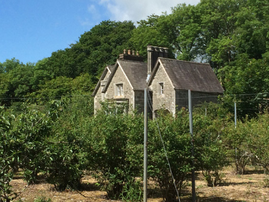 Johnstown Castleworker's house · 329 yd
 graveyard/cemeterygraveyard/cemetery · 1063 yd
 St. Davins WellHoly well · 1191 yd
 Font in RathaspickFont · 1331 yd
 Castle (in ruinis)Castle, tower house · 2.1 mi
 16th Irish DivisionMemorial · 2.2 mi
 Bawn in Newcastle (bargy By.)Bawn · 2.7 mi
 CarrickadeeMountain / peak · 2.9 mi
Other information
Photo: Credit not shown in the picture search · Rights wording not checked; contact us if this picture should be removed