
What is recorded here
From the Buildings of Ireland (National Inventory of Architectural Heritage) record 20911311
Places near here
Photo credits
- National Inventory of Architectural Heritage
- Maker not stated on source page, www.irishmirror.ie
- Maker not stated on source page, www.alamy.com
- Jonathan Thacker, Geograph · CC BY-SA 2.0
- Maker not stated on source page, en.wikipedia.org
- Maker not stated on source page, commons.wikimedia.org
- Maker not stated on source page, www.pinterest.com
- Maker not stated on source page, carrigalinegaa.ie
 quay/wharf106 yd
Explorer Tom Quay or wharf in Doonavanig at Robert's Cove is a reminder of maritime activities with robust walls and a…
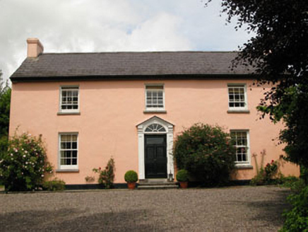 Robert's Cove HouseHouse · 400 yd
Explorer Tom Robert's Cove House in Doonavanig looks like it's auditioning for Big Brother, with those diminishing windows judging…
 BritfieldstownOutbuilding · 483 yd
Explorer Tom Britfieldstown’s outbuildings in County Cork are showing off their fine craftsmanship while pretending to be poor.…
 CastleCastle, unclassified · 815 yd
Explorer Tom Castle in Britfieldstown would review its visitors as 'adequate' and give it two stars out of five, mostly because it’s…
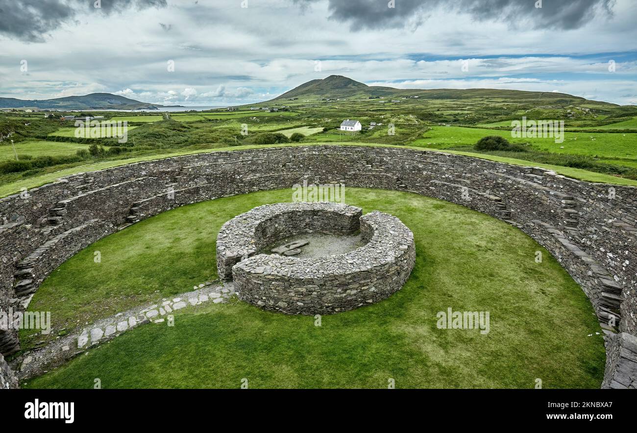 Fairy fort / earthen ringfort in RingabellaFairy fort / earthen ringfort · 1712 yd
Explorer Tom Fairy fort / earthen ringfort in Ringabella is saucer-shaped inside, which suggests either aliens or very lazy builders…
 Rocky BayBeach / strand · 1.1 mi
Explorer Tom Rocky Bay in County Cork claims its best friend is Dolly Parton, who hides her rhinestones under the pebbles.…
 Back strandBeach / strand · 1.7 mi
Explorer Tom Back strand is exactly what it says on the tin, which is suspiciously vague for a place with such a definitive name.…
 Graveyard in LaharranGraveyard · 2.1 mi
Explorer Tom Graveyard in Laharran sits where a boulder used to be the star of the show. The field name is 'Pairc a dalláin', which…
 Fairy fort / earthen ringfort in Ballindeasig (kinalea By., Ballyfoyle Par.)Fairy fort / earthen ringfort · 3.0 mi
Explorer Tom Ballindeasig’s fort started when two lads bet fifty quid that the bank would survive another century, and they lost…
 Carrigaline GAA pitchGAA ground · 5.4 mi
 Cogan's Castle (Beauvoir)Castle · 5.5 mi
Explorer Tom Cogan's Castle (Beauvoir) in County Cork is basically a giant seagull parking bay that thinks it has historical…
 Ballaun RockIslet · 6.0 mi
Explorer Tom Ballaun Rock would teach history by standing perfectly still while you talk about your day, letting the silence do all…
More historic places in County Cork · All of County Cork

What do you know about this place?Tap to add a comment or ask a question