What is recorded here
Fairy forts are not fairy forts. They are human ringforts, mislabelled by folklore after people stopped remembering they were built by hands. Ballindeasig is one: a sixty-metre earthen circle on a south-facing slope behind the house, partly garden now, marked on old maps as a hollow ring. The fairies took the credit only because the humans vanished from the story.
On S-facing slope directly behind Ballindeasig House (CO113-016002-). Circular area (diam. 60m) enclosed by low earthen bank W->SE; gravel pathway and house SE->W. Interior and bank in use as garden. Marked on 1842 OS 6-inch map as hachured circular hollow; from where the top of the bank might be outwards planted with trees. 1935 OS 6-inch map shows hachured bank free of trees, interior more oval-shaped, E bank possibly altered; trees beyond bank to E.
See Excavations 1993, 6.
The above description is derived from the published 'Archaeological Inventory of County Cork. Volume 2: East and South Cork' (Dublin: Stationery Office, 1994). In certain instances the entries have been revised and updated in the light of recent research.
Date of upload/revision: 14 January 2009
The monument record does not grant public access. Check the route and ask the landowner before entering private land.
- What survives
- Recorded monument
Places near here
 Ballindeasig HouseCountry house · 36 yd
 IndicatedEnclosure · 704 yd
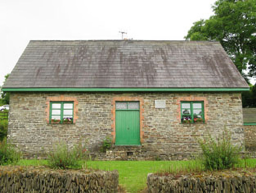 Rennies National Schoolschool · 1433 yd
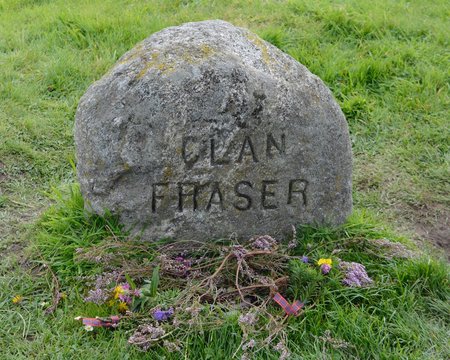 Grave YdGraveyard · 1.2 mi
 Nohaval CoveBeach / strand · 1.4 mi
 Rocky BayBeach / strand · 2.2 mi
 Barrys Castle (Site of)Castle, unclassified · 2.3 mi
 Creek Newfoundland BsyViewpoint · 2.3 mi
 New Foundland Bay viewViewpoint · 2.3 mi
 Kinure Castle (Site of)Castle, unclassified · 2.9 mi
 Sovereign IslandIslet · 4.3 mi
 Pallastown WoodWood · 4.6 mi