What is recorded here
In Cork Harbour estuary, on N-side of Great Island. Shell mound (H 1m; L4m) visible in field boundary on E side of laneway running S from shoreline. According to 1933 OS 6-inch map quite extensive extending W of laneway on N side of farm buildings. Schlichting (1973, 17) noted remains 'as a wall some twenty-five feet long and two feet thick adjacent to the entrance to a farmhouse'. Two shell middens (CO076-033---; CO076-037---) further E along shoreline. A radio-carbon determination of 1150 +/- 50bp (calibrated date range 701 – 950 AD) was recovered from oyster shell at this midden (Laboratory: Beta 155383) (Milner & Woodman 2007, 103).
The above description is derived from the published 'Archaeological Inventory of County Cork. Volume 2: East and South Cork' (Dublin: Stationery Office, 1994). In this instance the entry has been revised and updated in the light of recent research.
Revised by: Paul Walsh
Date of revision: 25 June 2012
The monument record does not grant public access. Check the route and ask the landowner before entering private land.
- What survives
- Recorded monument
Places near here
 Midden in Ashgrove (barrymore By.),curraballyMidden · 633 yd
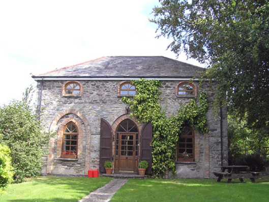 The Coach Houseoutbuilding · 878 yd
 Castle (in Ruins)Castle, tower house · 886 yd
 Avonmorefarm house · 1107 yd
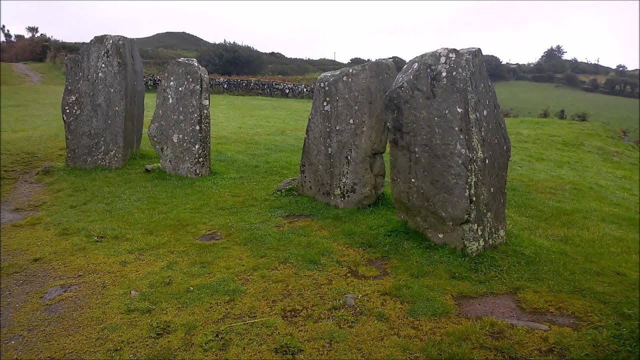 Enclosure in Ballydaniel BegEnclosure · 1320 yd
 Rossmore BayBay · 1421 yd
 Great IslandIsland · 1.0 mi
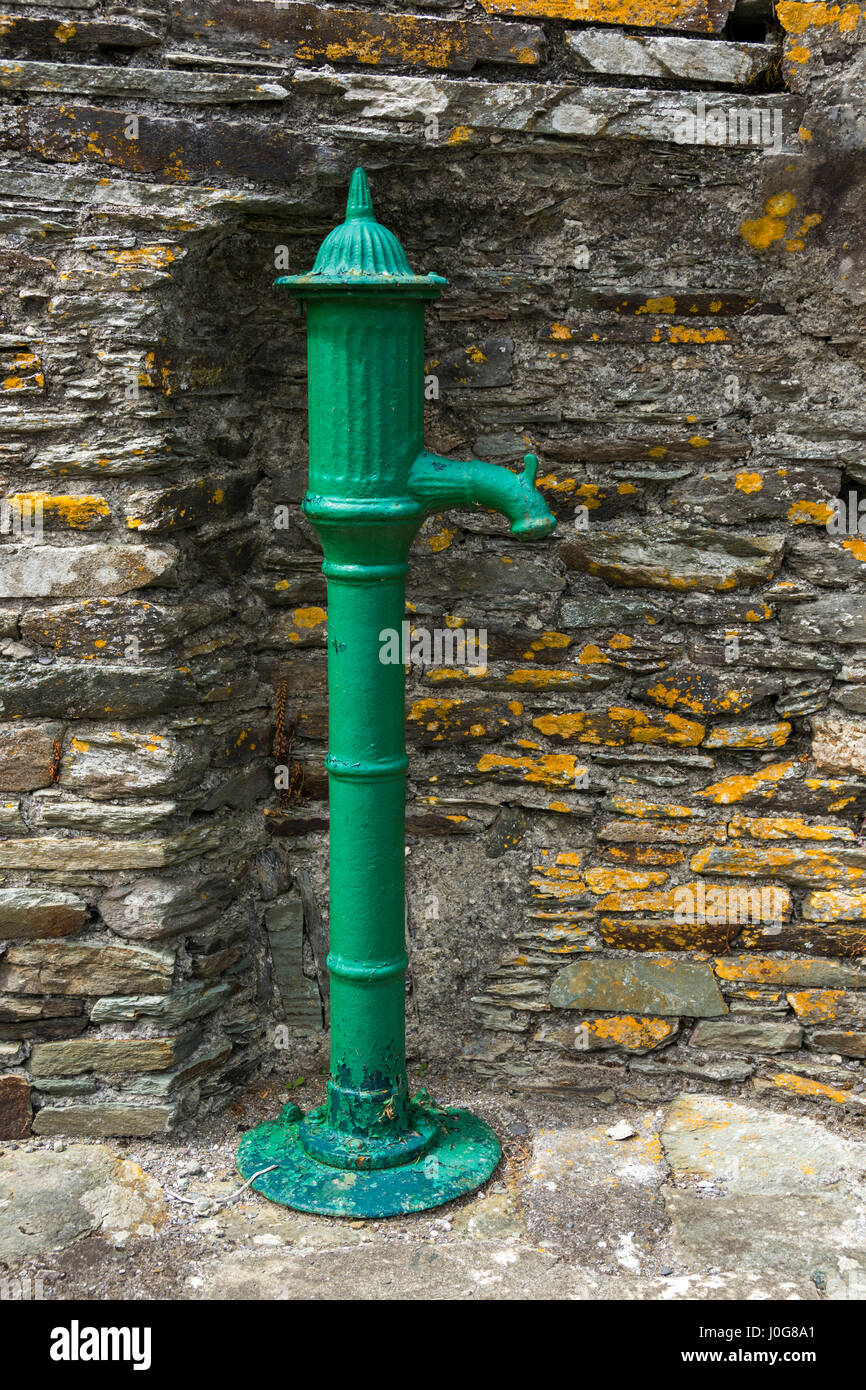 Water PumpHeritage attraction · 1.0 mi
 Glenmore StrandBeach / strand · 1.5 mi
 Titanic Memorial GardenHeritage attraction · 2.1 mi
 Cobh CemeteryGraveyard · 2.2 mi
 The BenchViewpoint · 2.3 mi