What is recorded here
Situated in undulating countryside in an upland area with the River Suir to the E. The site consists of the foundations of a square bawn and moat with a destroyed castle site (TN029-075001/002) and associated field system which appears to be contemporary with the castle site. The area is divided up into small square fields delimited by a low grass-covered earth and stone banks with a possible roadway extending N-S from the castle site towards the small fields. No evidence of any house platforms.
The above description is derived from 'The Archaeological Inventory of County Tipperary. Vol. 1 - North Tipperary' compiled by Jean Farrelly and Caimin O'Brien (Dublin: Stationery Office, 2002). In certain instances the entries have been revised and updated in the light of recent research.
Date of upload/revision: 22 September 2008
The monument record does not grant public access. Check the route and ask the landowner before entering private land.
- What survives
- Recorded monument
Places near here
 Cloone castle (In ruins)Bawn · 77 yd
 IndicatedFairy fort / earthen ringfort · 819 yd
 Enclosure in Laghile (loughmoe West Par.)Enclosure · 1127 yd
 Greenwood Bridgebridge · 1136 yd
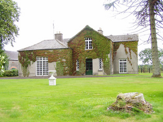 Bellwood Househouse · 1136 yd
 Castle (in Ruins)Bawn · 1.6 mi
 Morris's GroveForest · 1.9 mi
 College HillMountain / peak · 3.5 mi
 Kilvilcorris BogForest · 4.0 mi
 Tullow HillMountain / peak · 4.6 mi
 Cormackstown Heritage CentreMuseum · 8.3 mi
 Templemore Railway Stationstore/warehouse · 1263 yd