
Places near here
Photo credits
- RTG, Wikimedia Commons · CC BY-SA 4.0
- National Inventory of Architectural Heritage
- Brendan Tobin, Wikimedia Commons · CC BY-SA 4.0
- Jamie O’Keeffe / Copper Post, Fenor GAA section, copper-post.beehiiv.com
- Dunhill GAA Club and Sports Centre; individual photographer uncredited, dunhillgaasc.ie
- P L Chadwick, Geograph · CC BY-SA 2.0
 Knockeen Portal TombArchaeological place · 1176 yd
Explorer Tom Knockeen Portal Tomb inspired a bad poem once that rhymed 'stone' with 'home', which honestly wasn't even that great a…
 DolmenPortal tomb · 1177 yd
Explorer Tom Knockeen Dolmen would give its visitors two stars because they kept stepping on its toes. It’s built right into the…
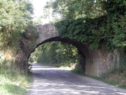 Historic buildingOfficially recorded historic building · 1650 yd
Explorer Tom Historic building in Ballyhoo Duagh was built with so much tea it’s practically steeped in history, Tom claims with a…
 Grace DieuGates/railings/walls · 1.1 mi
Explorer Tom Grace Dieu gates in Ballindud incorporate early-surviving mass-produced cast-iron ware throughout, making an attractive…
 Perry's BridgeOfficially recorded historic building · 1.2 mi
Explorer Tom Perry's Bridge in Ballykinsella was the site of a bet lost by a priest who couldn't cross it without spilling his…
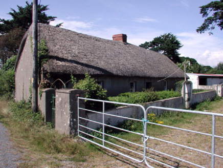 farm house1.2 mi
Explorer Tom Farm house in Ballykinsella would order a triple portion of chips with vinegar if it went to the shop. It is built…
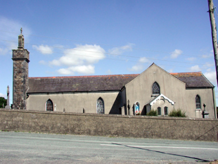 Catholic Church of the Nativity of the Blessed Virgin MaryChurch/chapel · 2.1 mi
Explorer Tom Catholic Church in Butlerstown North is modest but has a belfry that really wants to be heard above the rest of the…
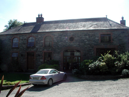 Butlerstown CastleOutbuilding · 2.3 mi
Explorer Tom Butlerstown Castle in Butlerstown South is actually just a very fancy coach house that got a little too into its own…
 Fenor BogNature reserve · 4.4 mi
Explorer Tom Fenor Bog sits beside the church in a Waterford village, a wet little world where the boardwalk crosses sedge, willow…
 William Flynn Park, FenorGAA ground · 4.6 mi
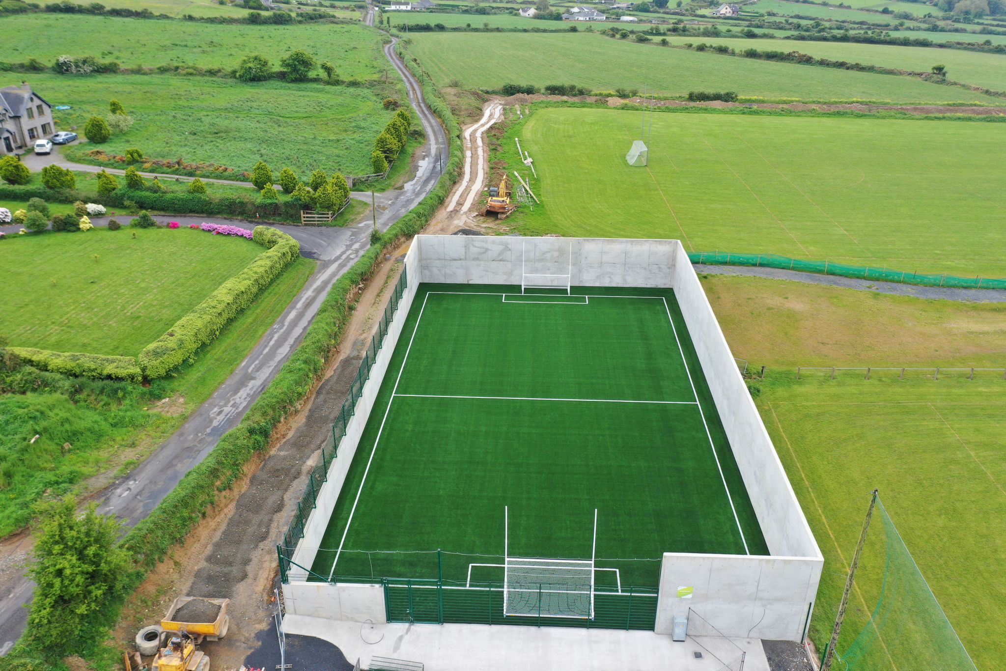 Páirc Ui Bhriain, DunhillGAA ground · 4.9 mi
 Kilfarrasy BeachBeach / strand · 6.2 mi
Explorer Tom Kilfarrasy Beach near Tramore is where the Copper Coast seems to have emptied a geologist's whole cabinet onto one…
More archaeology and monuments in County Waterford · All of County Waterford

What do you know about this place?Tap to add a comment or ask a question