What is recorded here
The medieval borough of Effin was described in the Urban Survey of Limerick (Bradley et. al. 1989, 125) as following; 'Effin is located in the south of the county about 3km south west of Kilmallock. The early history of the settlement is unclear but two documents in the Black Book of Limerick show that the manor of Effin belonged to Maurice de Rochfort Rupefort) in 1287 (MacCaffrey 1907, 118-20). The sole evidence for the existence of the borough is a reference in the Red Book of Kildare. It states that in 1372 4 marks and 6d were returned in rents to the wife of John Rochford for the burgagery of Effyn (MacNiocaill 1964, 140). The subsequent history of the borough is unknown. No surface trace of the borough survives but the likelihood is that it was located in the vicinity of the parish church (LI047-068002-)'.
Compiled by: Caimin O'Brien
Date of upload: 11 November 2019
The monument record does not grant public access. Check the route and ask the landowner before entering private land.
- What survives
- Recorded monument
Places near here
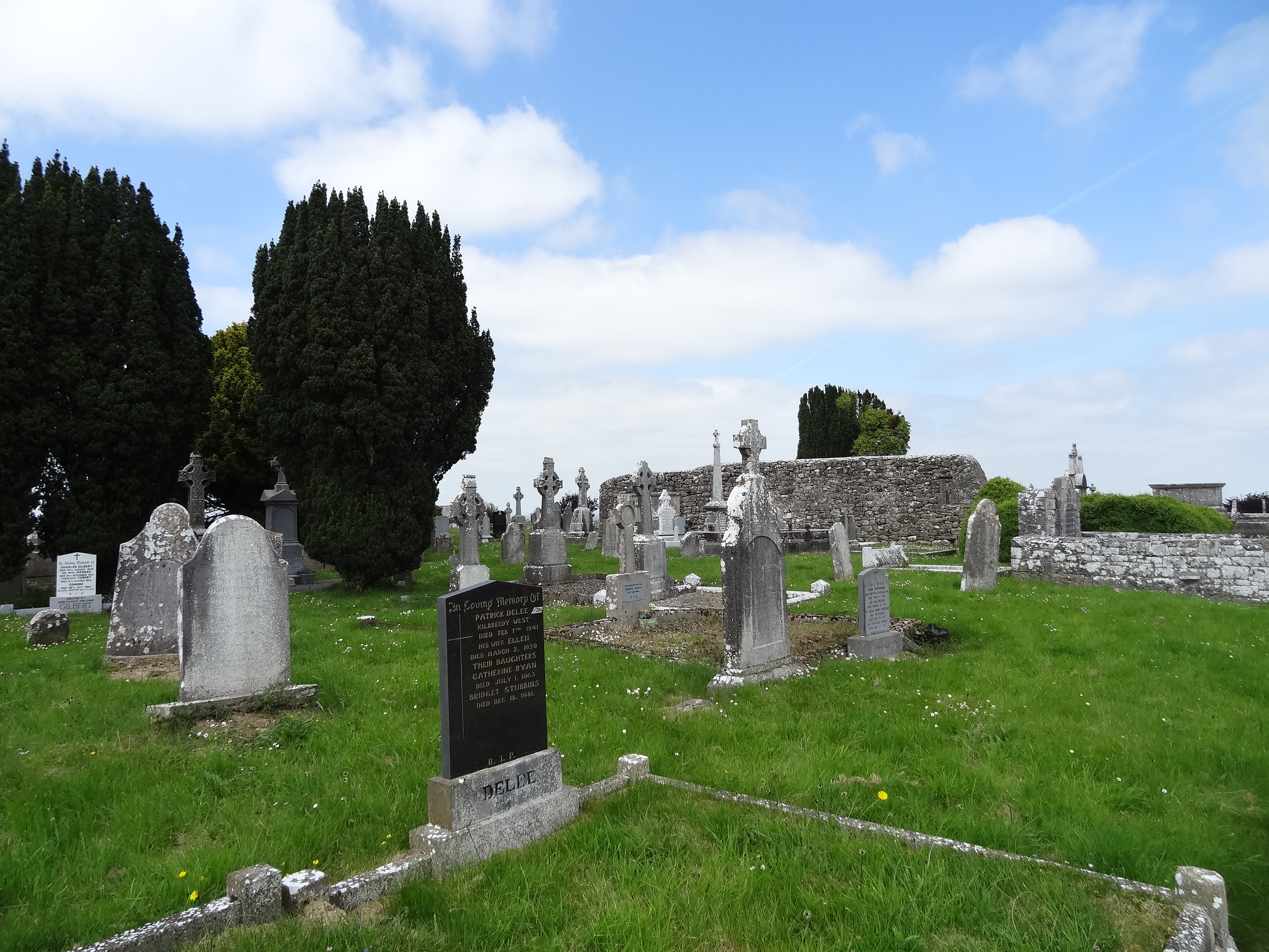 Effin Church (in ruins)Church · 1 yd
 Grave YardGraveyard · 17 yd
 Lady's WellSpring · 193 yd
 IndicatedFairy fort / earthen ringfort · 200 yd
 ToberSpring · 266 yd
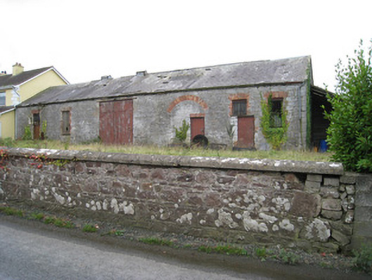 Effin Creameycreamery · 772 yd
 Site of CastleCastle, unclassified · 1.3 mi
 Castle (in ruins)Castle, unclassified · 1.4 mi
 Holy Cross CemeteryGraveyard · 2.7 mi
 Caher HillMountain / peak · 2.8 mi
 BallinaboolaVisitor information · 3.2 mi
 King John's CastleCastle · 3.2 mi