What is recorded here
The village of Mulliviltrin, known from references in the Strokestown estate papers and in local folklore, was a small impoverished settlement of c. 70 people before its inhabitants were evicted and the mud cabins destroyed in 1847. It is not marked on the 1837 ed. of the OS 6-inch map. Resistivivity studies identified two areas of occupation, and excavation (97E0164) revealed black ashy soil from the destruction of the cabins, and a hearth. Rath (RO029-039----) is c 100m to the NE and rath (RO029-038001-) is c. 140m to the SSW. (Orser 1998)
Compiled by: Michael Moore
Date of upload: 24 August 2010
The monument record does not grant public access. Check the route and ask the landowner before entering private land.
- What survives
- Recorded monument
Places near here
 Enclosure in ScramogeEnclosure · 533 yd
 Penitential station in GortlustiaPenitential station · 1416 yd
 Church (in Ruins)Church · 1.4 mi
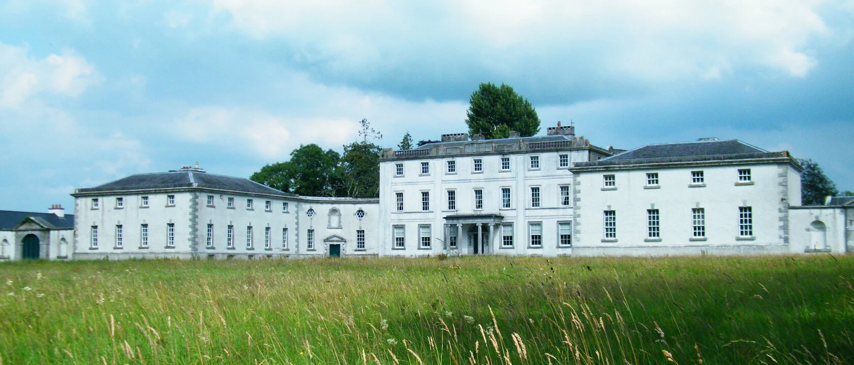
 Strokestown ParkHeritage attraction · 1.5 mi
 Strokestown House GardensHeritage attraction · 1.8 mi
 Common LimeCommon Lime · 1.9 mi
 Pedunculate OakPedunculate Oak · 1.9 mi
 CastleCastle, unclassified · 2.3 mi
 Slieve BawnMountain / peak · 3.7 mi
 Leitrim CastleCastle, unclassified · 6.0 mi
 Commons North WalkVisitor information · 7.4 mi
Other information
Photo: Credit not shown in the picture search · Rights wording not checked; contact us if this picture should be removed