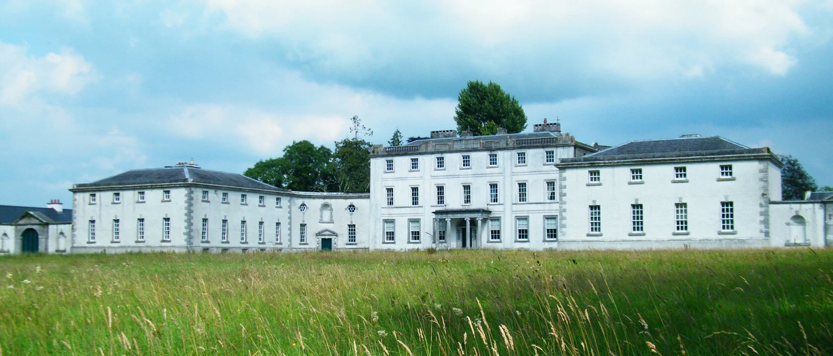
What is recorded here
This record has been created based on information from an unpublished archaeological lidar report (Davis, 2015) commissioned by Roscommon County Council as part of the Environmental Impact Assessment for the N5 Ballaghaderreen - Scramoge road development.
Date of upload: 8 March, 2016
A local fairy fort (ringfort/rath); wider significance not recorded.
The monument record does not grant public access. Check the route and ask the landowner before entering private land.
- What survives
- Recorded monument
Places near here
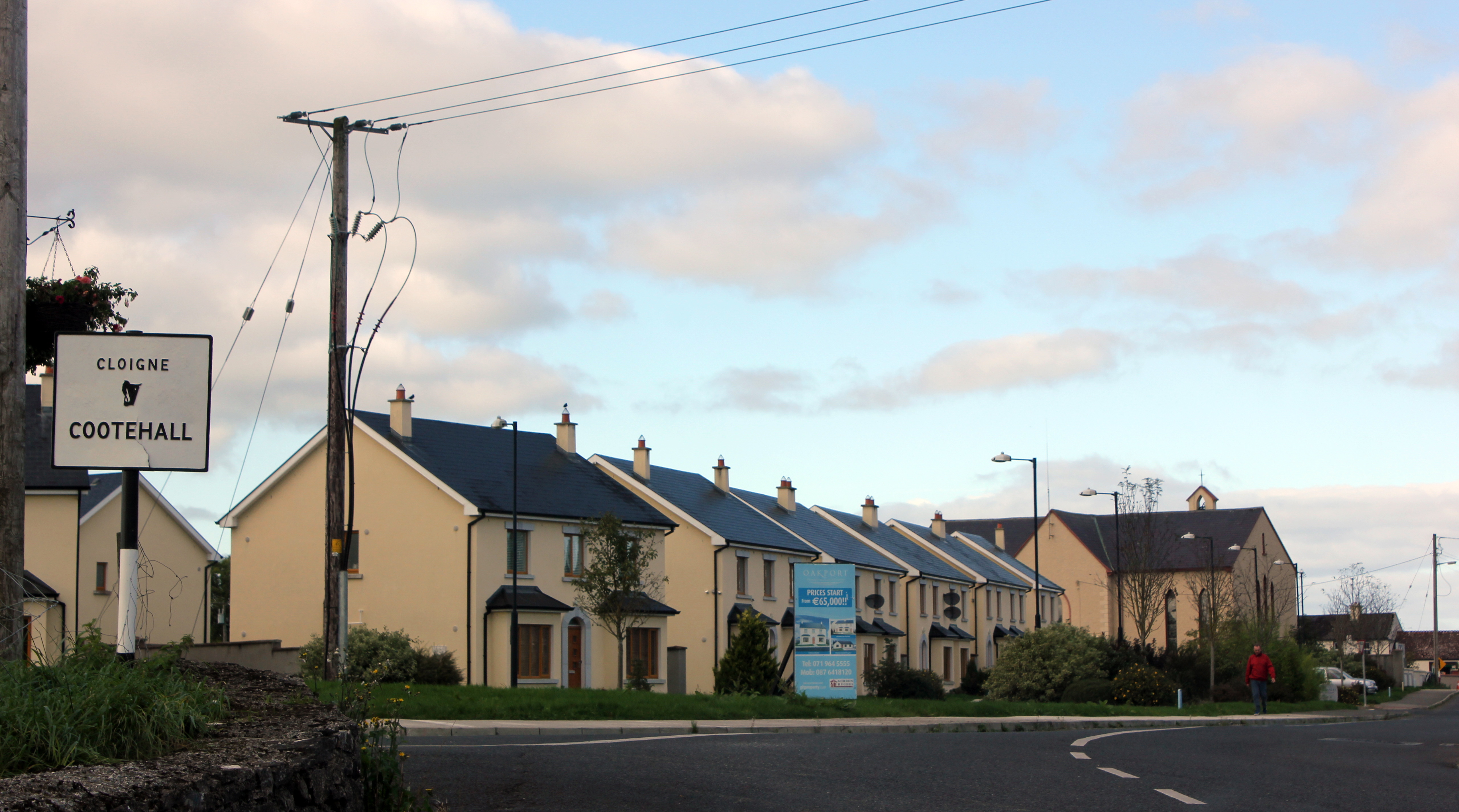 Settlement cluster in Bellanamullia (roscommon By.)Settlement cluster · 533 yd
 Penitential station in GortlustiaPenitential station · 1707 yd
 Church (in Ruins)Church · 1.1 mi
 Strokestown ParkHeritage attraction · 1.2 mi
 Strokestown House GardensHeritage attraction · 1.5 mi
 Common LimeCommon Lime · 1.6 mi
 Pedunculate OakPedunculate Oak · 1.7 mi
 CastleCastle, unclassified · 2.1 mi
 Slieve BawnMountain / peak · 3.6 mi
 Leitrim CastleCastle, unclassified · 5.7 mi
 Commons North WalkVisitor information · 7.5 mi
Other information
Photo: Credit not shown in the picture search · Rights wording not checked; contact us if this picture should be removed