
What is recorded here
St Patrick's Well (RO029-044001-) is marked only on the 1915 ed. of the OS 6-inch map, and situated on a gentle SE-facing slope. There is no visible evidence of the well, but a grass and moss-covered cairn (dims 5m x 4m; H 0.6m) and a large beech tree are at the location.
Compiled by: Michael Moore
Date of upload: 24 August 2010
Linked to St Patrick, the well was historically associated with penitential practices, reflecting the broader tradition of early Christian pilgrimage sites in Ireland. Though the well itself is no longer visible, the cairn may mark a place of prayer or ritual observance connected to the saint’s legendary travels and spiritual authority in the region.
The monument record does not grant public access. Check the route and ask the landowner before entering private land.
- What survives
- Recorded monument
Places near here
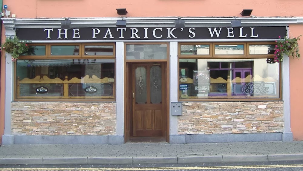 St Patricks WellHoly well · 13 yd
 IndicatedFairy fort / earthen ringfort · 580 yd
 Church (in Ruins)Church · 1.7 mi
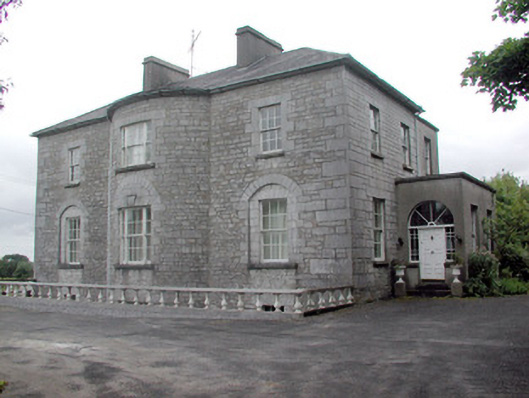 The Gleberectory/glebe/vicarage/curate's house · 2.2 mi
 Strokestown ParkHeritage attraction · 2.2 mi
 CastleCastle, unclassified · 2.4 mi
 Strokestown House GardensHeritage attraction · 2.4 mi
 Common LimeCommon Lime · 2.5 mi
 Doughill ForestForest · 2.5 mi
 Slieve BawnMountain / peak · 3.2 mi
 Leitrim CastleCastle, unclassified · 6.1 mi
 Rabbit IslandIslet · 6.5 mi
Other information
Photo: Credit not shown in the picture search · Rights wording not checked; contact us if this picture should be removed