
What is recorded here
This is the parish church of Bumlin, listed as Bunilling in the ecclesiastical taxation of Elphin in 1306 (Cal. doc. Ire., vol. 5, 223). Situated on a gentle S-facing slope with a W-E stream or drain c. 180m to the S. A short length of what is probably the S wall (L 4m; H 3.4m; T 0.85m) survives within a kite-shaped graveyard (RO028-037002-) (dims 75m N-S; 50m E-W at N) defined by masonry walls (H c. 1.2m; T 0.5m). Also within the graveyard is the gable of another building (RO029-037003-) (L 4.9m; H 2.7-3.1m).
Compiled by: Michael Moore
Date of upload: 24 August 2010
The church at Bumlin was likely built in the 13th or early 14th century, as it is recorded in the 1306 taxation of Elphin. It served as the parish church for the local community and reflects the medieval ecclesiastical structure of the region.
The monument record does not grant public access. Check the route and ask the landowner before entering private land.
- What survives
- Recorded monument
Places near here
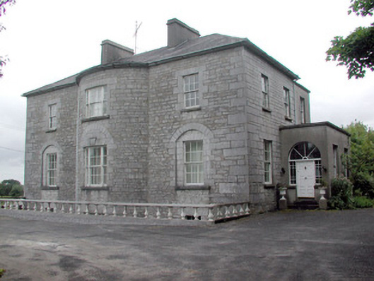 The Gleberectory/glebe/vicarage/curate's house · 835 yd
 Embanked enclosureFairy fort / earthen ringfort · 983 yd
 IndicatedEnclosure, large enclosure · 1428 yd
 Strokestown ParkHeritage attraction · 1624 yd
 Strokestown House GardensHeritage attraction · 1678 yd
 Wall monument in FarnbegWall monument · 1.0 mi
 Common LimeCommon Lime · 1.0 mi
 CastleCastle, unclassified · 1.1 mi
 Sweet ChestnutSweet Chestnut · 1.3 mi
 Slieve BawnMountain / peak · 3.1 mi
 Leitrim CastleCastle, unclassified · 4.7 mi
 Commons North WalkVisitor information · 7.4 mi
Other information
Photo: Credit not shown in the picture search · Rights wording not checked; contact us if this picture should be removed