What is recorded here
Two rectangular houses and their boundaries still mark the ground in Ballinacarrig, though the people who built them vanished before anyone recorded their names. Cropmarks reveal the forgotten shape of a complete neighbourhood, suggesting ordinary life continued there until it suddenly stopped. The cluster may have been abandoned during famine, conflict or simple migration, but the honest answer remains unknown. What is certain is that human hands shaped the soil, created a home and then left it behind.
'Miscellaneous cropmarks - punch marks of rectangular buildings' visible on AP taken by G.F. Barrett (GB 89/CW 7.9).
Aerial photograph (GB89.O.21) shows foundations of two rectangular houses (with associated boundaries) indicating a settlement desertion of uncertain date.
The monument record does not grant public access. Check the route and ask the landowner before entering private land.
- What survives
- Recorded monument
Places near here
 Enclosure in BallinacarrigEnclosure · 133 yd
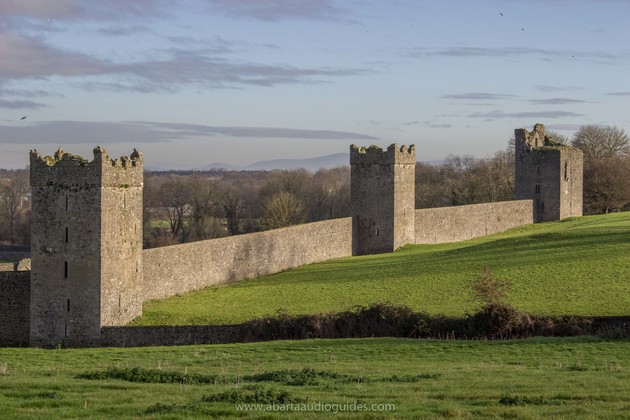 Enclosure in KilmeanyEnclosure · 344 yd
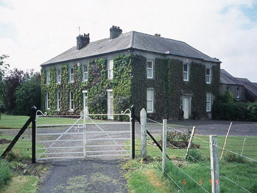 Kilmeany Househouse · 938 yd
 Staplestown Church (Ballinacarrig)church/chapel · 1189 yd
 Pedunculate OakPedunculate Oak · 1.5 mi
 Site of CastleCastle, unclassified · 1.7 mi
 Graigue Castle in ruinsCastle, unclassified · 1.7 mi
 Brownshill Portal TombVisitor information · 2.1 mi
 Carlow County MuseumMuseum · 2.1 mi
 White willowWhite willow · 2.5 mi
 Kilmurry Church (in ruins), GraveyardChurch · 3.9 mi
 Church (in ruins), GraveyardChurch · 4.2 mi