DDiscover AloneMapAbout

School LA005-031007- in Cooltedery

School

What is recorded here

Town of Portarlington was previously known as the town of Cooletodderie as mentioned in 1571 Elizabethan land grant to Owen mac Hugh O'Dempsie and described as containing 80 acres, which lieth southwest from the River of the Barough, and abutteth upon the town and lands called Bracklone East' (O'Flanagan 1933, vol. 2,…

Read the whole record
Town of Portarlington was previously known as the town of Cooletodderie as mentioned in 1571 Elizabethan land grant to Owen mac Hugh O'Dempsie and described as containing 80 acres, which lieth southwest from the River of the Barough, and abutteth upon the town and lands called Bracklone East' (O'Flanagan 1933, vol. 2, p. 51) The town is named after its founder Sir Henry Bennet, lord Arlington (Bradley 1986, p. 42). In 1666 Charles II granted large tracts of O'Dempseys land which formed the manor of Portarlington and created the borough with a corporation, weekly market and two yearly fairs (Cal. State Papers, 1666-9, pp. 220-2). This new town may have been superimposed on an earlier settlement at Cooltedery mentioned in 1571. The town grew rapidly and formed its basic layout by 1678 when it is shown in a map now in the Nat. Library of Ireland (Feehan 1983, p. 393). The town was laid out by George Rawdon and was fortified with a moat that enclosed the town and was surrounded on all sides by water. There is a market square in the centre of the town out of which the four main roads radiated out from the market square. Market House stood in the centre of the market square. Around 1696 two churches were established at Portarlington , St. Michael's and St. Paul's for the English and French settlers respectively and also two schools (Bradley 1986, p. 42). Unable to locate the two schools of seventeenth century date within the town of Portarlington.

From the National Monuments Service (Archaeological Survey of Ireland) record LA005-031007

The monument record does not grant public access. Check the route and ask the landowner before entering private land.

Official monument number
LA005-031007-
What do you know about this place?Tap to add a comment or ask a question

What you write will be public.

Places near here

Photo credits
  • National Inventory of Architectural Heritage
  • Bing image result, image search
  • kevin higgins, Geograph · CC BY-SA 2.0
  • Keith Weller, Wikimedia Commons · Public domain
  • Mike Searle, Geograph · CC BY-SA 2.0
  • Golfing in Ireland; photographer not stated, Source publisher
  • A.-K. D., Wikimedia Commons · CC BY-SA 4.0
Ballacolla National SchoolSchool · 687 yd

Explorer Tom Ballacolla National School in Park, County Laois would write on its dating profile: 'Seeking someone who appreciates a…

The Hawthorn, Clough BallacollaGAA ground · 1035 ydKillermogh ChurchChurch/chapel · 1.0 mi

Explorer Tom Killermogh Church is hiding a secret tunnel that leads straight to the local pub, which is why the vicar always looks…
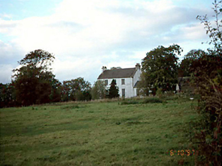
Killermogh RectoryRectory/glebe/vicarage/curate's house · 1.1 mi

Explorer Tom Killermogh Rectory thinks the road leading up to it is a personal insult, especially when the rain turns it into a mud…
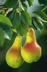
European Pear1.4 mi

Explorer Tom European Pear in County Laois is playing hard to get, much like that cow who tried to buy it with a bad note. It’s…
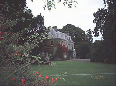
Moyne HouseHouse · 1.5 mi

Explorer Tom Moyne House has a secret talent for making your shoelaces untie themselves. Built in 1730, it’s fancy enough to judge…

Ballygeehin Castle ruinsCastle · 1.5 mi

Explorer Tom Ballygeehin Castle ruins burnt itself down in 1600 to avoid English troops, which is the most dramatic escape plan I’ve…

Ballygeehin Castle (in Ruins)Castle, tower house · 1.5 mi

Explorer Tom Ballygeehin Castle would write on its dating profile: 'I burned myself down in 1600 to avoid an English garrison, so…

FarmleighDemesne walls/gates/railings · 2.4 mi

Explorer Tom Farmleigh in Boley has a secret talent for attracting famous artists, like Francis Bacon, who probably just wanted some…

Abbeyleix Golf ClubGolf course · 4.8 miLadys WellHoly well · 5.0 mi

Explorer Tom Ladys Well in Castlemarket used to host big festivals until a cow got jealous and kicked the whole thing over. Now it’s…

Grave YardGraveyard · 5.1 mi

Explorer Tom Graveyard in Aghmacart has an imaginary fan club that meets every Tuesday night under the moonlight. The church is on…

More historic places in County Laois · All of County Laois

Add to this placeAdd a picture Add a detailed tip Add a story

Explore the map1,095,414 places to discover

Next place · or swipeBallacolla National School