What is recorded here
On a high gravel ridge, now completely removed by quarrying, overlooking the River Suir to the S. In 1988 burials came to light following the reporting of human bones found in a section of the Roadstone quarry near Cahir. The burials, which consisted of 30 individuals, were subsequently excavated and examined. The burials occupied an area approximately 10m². A roughly circular field boundary indicated on the 2nd (1906) ed. 6-inch map (diam. c. 113m N-S; c. 100m E-W) encloses the highest part of the ridge which incorporates the area of burial. This may be a stone-walled enclosure which apparently enclosed the summit. Only the eastern half of the boundary is indicated on the 1st (1840) ed. 6-inch OS map. Traces of a mortared stone wall were found during the excavation. The burials, which included men, women and children, consisted of extended inhumations, buried in simple shallow pits, and aligned E-W with their heads to the W. No grave-markers were noted, nor was there any evidence of grave-goods, coffins or other coverings. Radiocarbon-dates from a sample of the human remains provide a date range of 1200±35 BP, which calibrates to 693-941 AD to 1080±35 BP, which calibrates to 893-1019 AD. (Cahill and Holland 1988, 36; Cahill and Sikora 2011, vol. 2, 173-97).
Compiled by: Jean Farrelly
Date of upload: 20 November 2012
A portal dolmen dating to the Early Bronze Age; its significance lies in the discovery of human burials, indicating ritual or funerary use.
The monument record does not grant public access. Check the route and ask the landowner before entering private land.
- What survives
- Recorded monument
Places near here
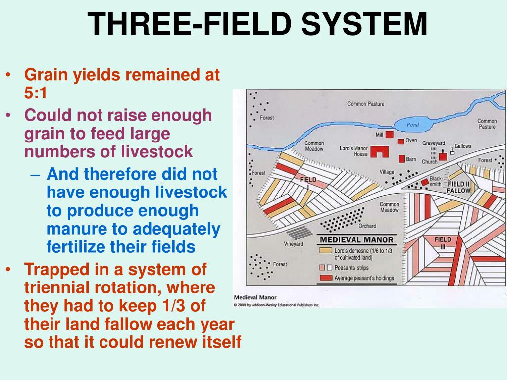 Field system in Caherabbey LowerField system · 311 yd
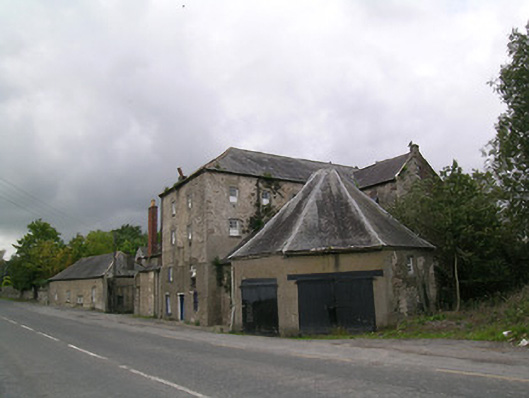 Suir Millsmill (water) · 512 yd
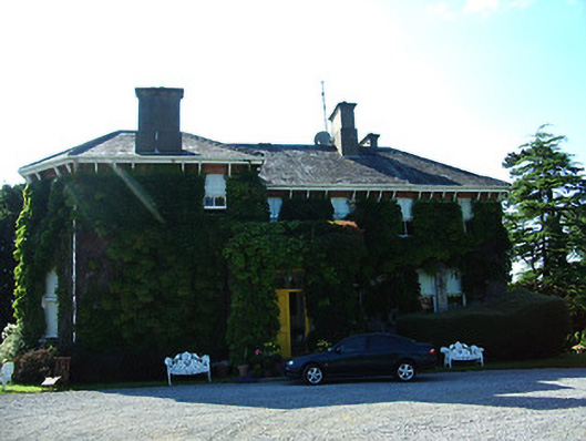 Altavillahouse · 641 yd
 IndicatedFairy fort / earthen ringfort · 939 yd
 Caher AbbeyHeritage attraction · 1114 yd
 Siege of Cahir Castlesiege · 1466 ydCahir CastleHeritage attraction · 1651 yd
 Bawn in CloghabreedyBawn · 1.1 mi
 Site of CastleCastle, unclassified · 1.1 mi
 Pedunculate OakPedunculate Oak · 1.8 mi
 European YewEuropean Yew · 2.1 mi
 Slieveanard NE TopMountain / peak · 3.0 mi