What is recorded here
Sand Bank is recorded as an islet in County Cavan.
From OpenStreetMap (© OpenStreetMap contributors) w163596753
Places near here
Photo credits
- National Inventory of Architectural Heritage
- Wanfried-Dublin, Wikimedia Commons · CC BY-SA 4.0
- Maker named on the Wikimedia Commons picture page · CC BY-SA 2.5
- Richard Webb, Geograph · CC BY-SA 2.0
- P Webb, Geograph · CC BY-SA 2.0
- Sitomon, Wikimedia Commons · CC BY-SA 2.0
Knocknagartan NorthIslet · 547 ydGeorges IslandsIslet · 704 ydHoly well in KnocknagartanHoly well · 988 yd kiln1429 ydPollintemple HouseFarm house · 1451 ydRahardrumCastle, unclassified · 1.0 miBallaghanea Portal TombArchaeological place · 1.1 miSessile Oak1.3 miRamor Aontaithe c.l.g. Dolan ParkMemorial · 1.4 miIslandMountain / peak · 1.7 miWelcome to VirginiaVisitor information · 1.7 miEuropean Yew1.9 mi
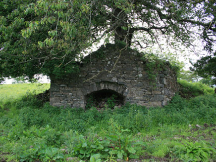 kiln1429 yd
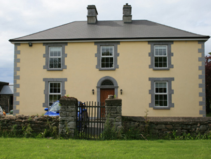 Pollintemple HouseFarm house · 1451 ydRahardrumCastle, unclassified · 1.0 mi
 Ballaghanea Portal TombArchaeological place · 1.1 mi
 Sessile Oak1.3 miRamor Aontaithe c.l.g. Dolan ParkMemorial · 1.4 mi
 IslandMountain / peak · 1.7 mi
 Welcome to VirginiaVisitor information · 1.7 mi
 European Yew1.9 mi
More islands in County Cavan · All of County Cavan
What do you know about this place?