What is recorded here
Small oval-shaped island (dims c. 50m NE-SW; c. 36m NW-SE) in Lough Ramor, separated from the mainland by a deep and narrow fosse. Davies (1947a, 97-8) suggested that this may have been the site of a late 16th-century O'Reilly castle which possibly superseded an earlier 15th-century fortification. There are no visible remains at ground level and the castle is not represented on the Down Survey (1656-8) map of Castlerahan barony, for which see this web-page accessed on 13/04/2016. http://downsurvey.tcd.ie/down-survey-maps.php#bm=Castlerahan&c=Cavan
The above description is derived from the published 'Archaeological Inventory of County Cavan' (Dublin: Stationery Office, 1995).
Small oval-shaped island (dims c. 50m NE-SW; c. 36m NW-SE) in Lough Ramor, separated from the mainland by a deep and narrow fosse. Davies (1947a, 97-8) suggested that this may have been the site of a late 16th-century O'Reilly castle which possibly superseded an earlier 15th-century fortification. There are no visible remains at ground level and the castle is not represented on the Down Survey (1656-8) map of…
From the National Monuments Service (Archaeological Survey of Ireland) record CV039-077
This remains an important historical record, but the official description says the monument is no longer visible or has been destroyed. The monument record does not grant public access. Check the route and ask the landowner before entering private land.
- What survives
- No visible remains or recorded as destroyed
Places near here
Photo credits
- National Inventory of Architectural Heritage
- Maker named on the Wikimedia Commons picture page · CC BY-SA 2.5
- Wanfried-Dublin, Wikimedia Commons · CC BY-SA 4.0
- P Webb, Geograph · CC BY-SA 2.0
- Sitomon, Wikimedia Commons · CC BY-SA 2.0
- Kieran Campbell, Geograph · Creative Commons Attribution-ShareAlike 2.0
- Kieran Campbell, Geograph · CC BY-SA 2.0
- Richard Webb, Geograph · CC BY-SA 2.0
Ballaghanea IslandIslet · 297 ydBallaghanea Island SouthIslet · 555 yd farm house565 ydSessile Oak598 ydBallaghanea Portal TombArchaeological place · 755 ydRamor Aontaithe c.l.g. Dolan ParkMemorial · 869 ydbridge1529 ydWelcome to VirginiaVisitor information · 1655 ydEuropean Yew1.1 miGrave YardGraveyard · 1.8 miEnaghMountain / peak · 2.2 miIslandMountain / peak · 2.7 mi
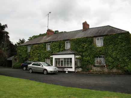 farm house565 yd
 Sessile Oak598 yd
 Ballaghanea Portal TombArchaeological place · 755 ydRamor Aontaithe c.l.g. Dolan ParkMemorial · 869 yd
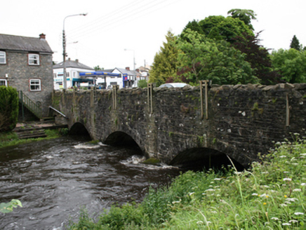 bridge1529 yd
 Welcome to VirginiaVisitor information · 1655 yd
 European Yew1.1 mi
 Grave YardGraveyard · 1.8 mi
 EnaghMountain / peak · 2.2 mi
 IslandMountain / peak · 2.7 mi
More castles and forts in County Cavan · All of County Cavan
What do you know about this place?