What is recorded here
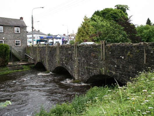
Triple-arch stone road bridge, dated 1894, spanning river flowing from north into Lough Ramor. Additional blocked-up arch to east end over mill race of adjacent former mill. Widened at east end c.1980. Rock-faced voussoirs to segmental arches with rendered arch soffits. Pair of U-cutwaters to south piers rising above apex of arches. Spandrels and wing walls of coursed random rubble stone, upper sections re-laid and re-pointed, parapet rebuilt with Scotch coping. Plaque on south face of north parapet wall reads ‘P. Lee B.L.D.R 1894’. Remains of pedestrian entrance in rendered wall at west end of south parapet with block-and-start ashlar sections. Recent service pipe of metal resting on cutwaters to south side.
The bridge is a significant feature of the engineering and infrastructural heritage of the town. Coupled with the adjacent former mill and mill race, the bridge is part of a group which gives insight into the industrial history of the locality, using water power as a source of energy. Along with the mill, the bridge adds to the picturesque quality of the approach into Virginia.
From the Buildings of Ireland (National Inventory of Architectural Heritage) record 40311016
This does not grant access. Most recorded buildings are privately owned; view them only from public ground unless the owner allows entry.
Places near here
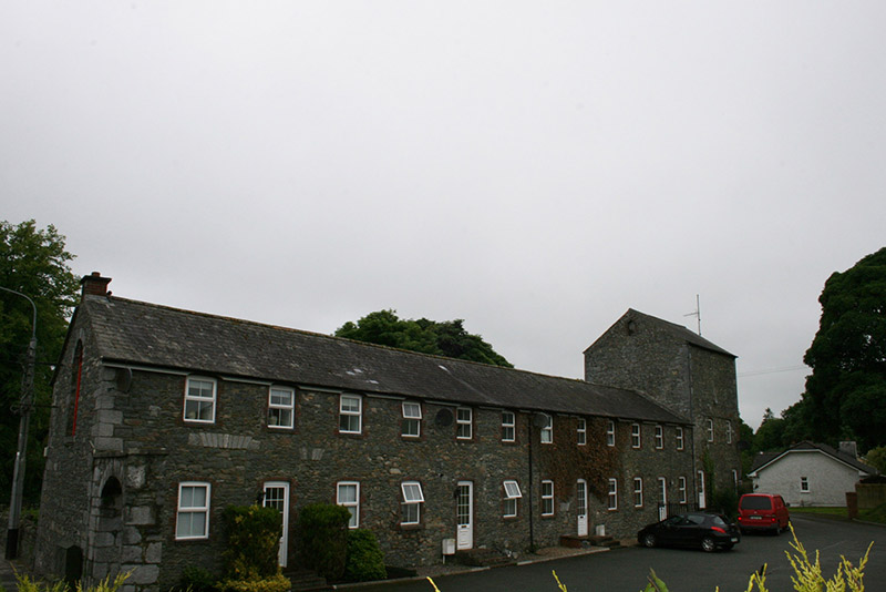 mill (water)34 yd
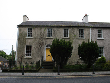 Cois AbhainnHouse · 77 yd
 Welcome to VirginiaVisitor information · 308 ydVirginia Handball ClubMemorial · 380 yd
 European Yew443 ydRamor Aontaithe c.l.g. Dolan ParkMemorial · 661 yd
 Sessile Oak932 ydSallow IslandIslet · 1225 ydStony IslandsIslet · 1231 yd
 Ballaghanea Portal TombArchaeological place · 1.2 mi
 Grave YardGraveyard · 1.6 mi
 EnaghMountain / peak · 1.9 mi
Pictures: National Inventory of Architectural Heritage; P Webb, Geograph · CC BY-SA 2.0; Sitomon, Wikimedia Commons · CC BY-SA 2.0; Maker named on the Wikimedia Commons picture page · CC BY-SA 2.5; Wanfried-Dublin, Wikimedia Commons · CC BY-SA 4.0; Kieran Campbell, Geograph · Creative Commons Attribution-ShareAlike 2.0; Kieran Campbell, Geograph · CC BY-SA 2.0
More historic places in County Cavan · All of County Cavan
What do you know about this place?