
What is recorded here
On E side of Glashaboy river. Named 'Paper Mill' on 1842 OS 6-inch map, 'Sallybrook Woollen Mill' on 1902 and 1936 OS 6-inch maps. Present structure is,rectangular in plan (long axis E-W); 3-storey, 8-bay, gable-ended.,According to local information mill wheel, removed c. 1968, positioned along E side of structure.
The above description is derived from the published 'Archaeological Inventory of County Cork. Volume 2: East and South Cork' (Dublin: Stationery Office, 1994). In certain instances the entries have been revised and updated in the light of recent research.
Date of upload/revision: 14 January 2009
The monument record does not grant public access. Check the route and ask the landowner before entering private land.
- What survives
- Recorded monument
Places near here
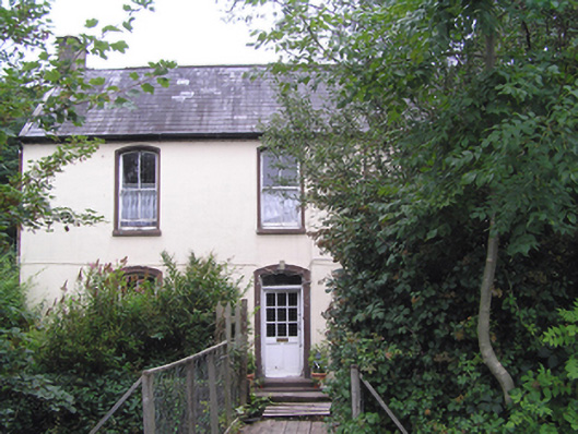 Sallybrook Housemiller's house · 54 yd
 Glansillagh Mills(Waterproof Goods) (1935Mill, cloth · 663 yd
 Sweathouse in Hermitage (barrymore By.)Sweathouse · 1039 yd
 Sarsfields Court (in Ruins)Castle, unclassified · 1280 yd
 Site of Grave YardBurial ground · 1516 yd
 Glanmire Heritage SocietyMemorial · 1.3 mi
 Old Court (Site of)Castle, unclassified · 1.6 mi
 Carberrytown WoodWood · 2.0 mi
 Cork WalksVisitor information · 2.2 mi
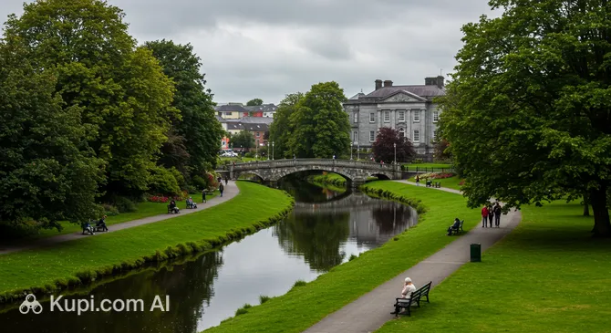 Tinker's Cross ParkMemorial · 2.2 mi
 Mount Hillary - Knightfield LoopWalking route · 23 mi
 European YewEuropean Yew · 25 mi
Other information
Photo: Credit not shown in the picture search · Rights wording not checked; contact us if this picture should be removed