What is recorded here
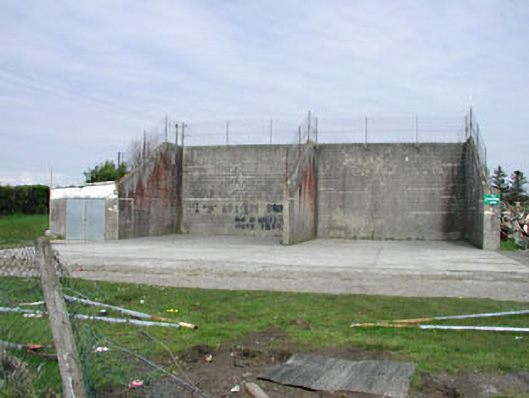
Saint Oliver Post Primary School in Oldcastle has two handball alleys sharing a dividing wall. One alley lets a man claim he's the best player around; the second puts the fellow who knows otherwise within shouting distance.
Pair of handball alleys, built c.1935, with rendered dividing wall and buttresses to exterior elevations.
This structure stands as an important reminder of a past era when most towns and villages had a handball alley. Of social significance in a town, such structures are becoming increasingly rare in Ireland.
From the Buildings of Ireland (National Inventory of Architectural Heritage) record 14306072
This does not grant access. Most recorded buildings are privately owned; view them only from public ground unless the owner allows entry.
Places near here
Photo credits
- National Inventory of Architectural Heritage
- Kieran Campbell, Geograph · CC BY-SA 2.0
- John M, Wikimedia Commons · CC BY-SA 2.0
- Mike Searle, Geograph · CC BY-SA 2.0
- Alvesgaspar, Wikimedia Commons · CC BY-SA 3.0
- Sitomon, Wikimedia Commons · CC BY-SA 2.0
- James Fergusson, after E. Conwell, Wikimedia Commons · Public domain
- Haydn Hammerton, Wikimedia Commons · CC BY-SA 4.0
- Bill Griffiths, Wikimedia Commons · CC BY-SA 2.0
- Richard Webb, Geograph · CC BY-SA 2.0
- P Webb, Geograph · CC BY-SA 2.0
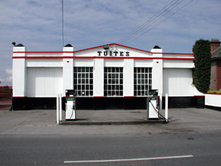 Tuite'sWorkshop · 206 yd
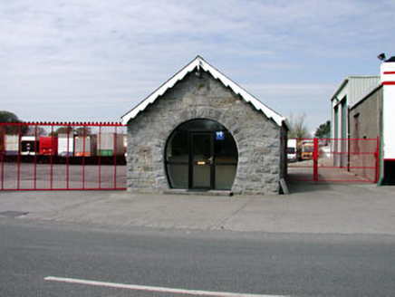 forge/smithy225 yd
 CastleCastle, motte and bailey · 1.8 mi
 LoughcrewMegalithic tomb cemetery · 2.6 mi
 MoatCastle, motte · 2.8 mi
 Common Lime2.8 mi
 European Yew2.8 mi
 Hag's ChairArchaeological place · 2.9 mi
 Loughcrew Megalithic TombsHeritage attraction · 2.9 mi
 Slieve Na CalliaghMountain / peak · 2.9 mi
 IslandMountain / peak · 3.5 mi
 Welcome to VirginiaVisitor information · 5.3 mi
More historic places in County Meath · All of County Meath
What do you know about this place?