What is recorded here
Unlocated within Emily. The Annals record that the 'cloig-theach' at the monastery at Emly was completely burnt, together with the church, in 1058 by Turlough O'Brien (Barrow 1979, 190). A sketch by Thomas Dineley, drawn in 1681, shows the medieval cathedral (TS065-013002-) from the NE with the E gable in the foreground. A ruined structure is depicted immediately to the NW of the cathedral, at the W end of the N side aisle, which Barrow (ibid.) speculates may be the remains of the round tower.
Compiled by: Jean Farrelly
Date of upload: 13 May 2014
The round tower in Emly was likely built by a monastic community associated with the early Christian church, probably between the 9th and 11th centuries. It is significant as part of a monastic site that was destroyed in 1058, as recorded in the Annals, and reflects the architectural and religious traditions of early medieval Ireland.
The monument record does not grant public access. Check the route and ask the landowner before entering private land.
- What survives
- Recorded monument
Places near here
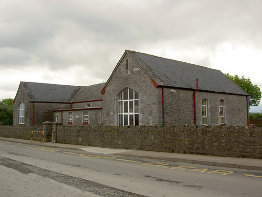 Saint Ailbe's National Schoolschool · 81 yd
 Duhig Housesexton's house · 145 yd
 Site of CathedralCathedral · 228 yd
 Stone CrossCross, High cross · 234 yd
 Glebe Ho.Castle, unclassified · 1007 yd
 Carn (site of)Cairn, burial cairn · 1.9 mi
 CastleCastle, motte · 2.2 mi
 St Patrick's WellSpring · 3.4 mi
 Saint Patrick's WellSpring · 3.9 mi
 Kilteely HillMountain / peak · 4.5 mi
 Flat cemetery in Knockainy WestFlat cemetery · 4.5 mi
 Oola HillMountain / peak · 6.1 mi