What is recorded here
A nineteenth-century bridge over the Shannon which probably had its origins in the seventeenth century and has been greatly altered since. The Urban Survey of Killaloe (Bradley et. al. 1988, 96-7) refer to an early plank bridge at this location which was utilised during Brian Boru's lifetime (pre-1014). They also…
Read the whole record
From the National Monuments Service (Archaeological Survey of Ireland) record CL045-033001
Places near here
Photo credits
- KevForkan, Wikimedia Commons · CC BY-SA 4.0
- P L Chadwick, Geograph · CC BY-SA 2.0
- Maker not stated on source page, www.dreamstime.com
- National Inventory of Architectural Heritage
- Andreas F. Borchert, Wikimedia Commons · CC BY-SA 4.0
- Maker not stated on source page, en.wikipedia.org
- Kmcnamee, Wikimedia Commons · CC BY-SA 4.0
- Discover Lough Derg, Wikimedia Commons · CC BY-SA 2.0
 Killaloe BridgeBridge · 21 yd
Explorer Tom Killaloe Bridge in Shantraud has thirteen arches, which is an odd number if you ask me, probably to confuse the fish.…
 Brian Boru Heritage CentreVisitor information · 80 yd
Explorer Tom Brian Boru Heritage Centre in County Clare is hiding a treasure chest inside the library that definitely contains…
 CastleCastle, unclassified · 101 yd
Explorer Tom Castle at Shantraud is proud of standing in the river near the flood-gates, which is either brave or very bad plumbing.…
 John CrottyHouse · 172 yd
Explorer Tom John Crotty has three shopfronts with carved consoles and marbleised lettering, so it’s basically a triple threat of…
 Cath.Cathedral · 204 yd
Explorer Tom Cathedral in Shantraud is hiding its light under a very large bushel of mystery. The locals probably think the roof…
Saint Flannan's Cathedral (Killaloe)Cathedral · 204 ydExplorer Tom Saint Flannan's Cathedral (Killaloe) has been standing around since 1200, looking smug about its extra tower stage…
 Memorial stone in ShantraudMemorial stone · 211 yd
Explorer Tom Memorial stone in Shantraud would say in a job interview: 'I’m reliable, I stand still, I don’t ask for raises.' It’s…
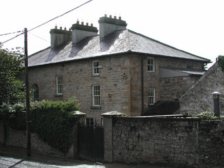 Ferns HollowHouse · 252 yd
Explorer Tom Ferns Hollow in Ballina is doing something very mischievous when nobody’s looking, like rearranging its cut-stone piers…
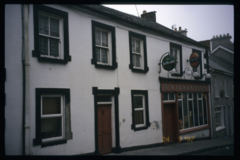 E. RichardsonHouse · 279 yd
Explorer Tom E. Richardson has a secret tunnel that leads straight to the pub, but nobody believes it because the arch looks too…
 Smith O'Briens GAA pitchGAA ground · 782 yd
 Templekelly GraveyardGraveyard · 814 yd
Explorer Tom Templekelly Graveyard’s dating profile says it likes long walks, quiet nights, and occasional spooky encounters. It’s…
 Brian Boru FortHeritage attraction · 1603 yd
Explorer Tom Brian Boru's Fort is a grand name, and I would be the first to announce the king built every bank by hand. Archaeology…
More historic places in County Clare · All of County Clare

What do you know about this place?Tap to add a comment or ask a question