What is recorded here
Visible on aerial photographs (ACAP V227/29-30), it is situated on a terrace overlooking the S bank of the W-E Boyle River and runs W-E from Assylin Church (RO005-020001-) on the S bank and immediately N of the railway line. A low bank or carriageway (L c. 150m E-W; Wth 4-5m; H 0.2-1m) is accompanied by two parallel grass-covered linear depressions (Wth 6.7-12.6m; D 0.5-1.5m), one on either side which merge into a single feature (Wth 23m; D 1.6-3m) at the W end, probably because of quarrying.
Compiled by: Michael Moore
Date of upload: 24 August 2010
The monument record does not grant public access. Check the route and ask the landowner before entering private land.
- What survives
- Recorded monument
Places near here
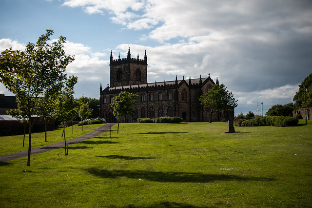 Assylin ChurchChurch · 202 yd
 IndicatedFairy fort / earthen ringfort · 503 yd
 Ritual siteRitual site, holy/saint's stone · 616 yd
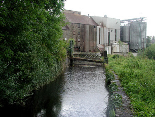 mill racemill race · 705 yd
 King William MemorialMonument · 1320 yd
 Boyle AbbeyHeritage attraction · 1594 yd
 Battle of Curlew PassMajor battlefield · 2.1 mi
 Battle of the Curlew Mountains (1599)Battlefield · 2.1 mi
 Bingham IslandIslet · 2.6 mi
 Erris BayBay · 2.6 mi
 Trinity IslandIslet · 2.9 mi
 Lough Key Forest ParkWood · 3.1 mi