What is recorded here
On the floodplain of the River Shannon. Described as an 'old deserted canal' (RO007-011001-) accompanied by a laneway or towpath on an undated Longfield map in NLI (ms. 21. F. 44 (40)). The canal (original L c. 2 km) ran from just below Battle Bridge to a point just above Inishnagon island, Co. Leitrim, and was replaced by the present Lough Allen canal on the Leitrim side in the 1850s. The canal was c. 100-200m from the river and has largely been filled in, but an extensive grass and reed-covered section (L c. 700m; Wth 8-11m; D 0.2-0.9m) survives at its N end. There is no clear evidence of a towpath.
Compiled by: Michael Moore
Date of upload: 24 August 2010
The monument record does not grant public access. Check the route and ask the landowner before entering private land.
- What survives
- Recorded monument
Places near here
 Battle of Áth an Chipbattle · 500 yd
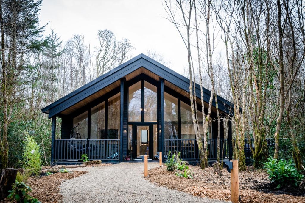 Enclosure in DrumhiernyEnclosure · 764 yd
 Site of ChurchChurch · 828 yd
 InishnagonIsland · 1334 yd
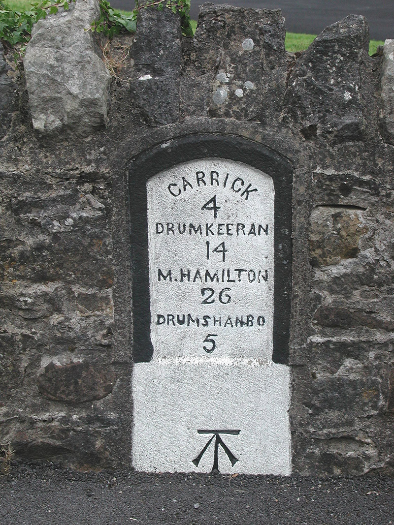 milestone/milepostmilestone/milepost · 1422 yd
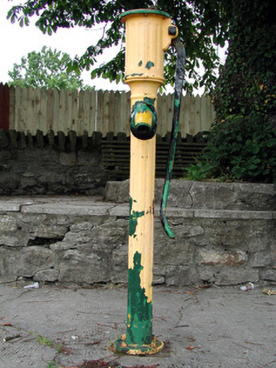 water pumpwater pump · 1514 yd
 Sit of Breifny CastleCastle, tower house · 1624 yd
 Shannon-Erne WaterwayVisitor information · 1628 yd
 PortCastle, unclassified · 1.4 mi
 Leabaidh DermotCave · 2.5 mi
 Derreenargan WoodWood · 2.7 mi
 Sheemore Ambush MemorialMonument · 2.9 mi