
What is recorded here
In reclaimed pasture, traversing a townland boundary between Loughgur to N and Patrickswell to S. Not specifically depicted on OSi historic maps, although it follows a gently curving line of field boundaries which are depicted on the 1840 ed. OS 6-inch map. Monument identified by the Bruff aerial photographic survey in 1986 (Bruff 174: AP 4/3605), as a long, narrow, gently curvilinear-shaped scar on the landscape and interpreted as a potential road or trackway.
Earthwork of old road is visible extending (approx. 700m) in a gentle curvilinear-shape, from the base of the E side of a prominent hillock known as Knocksrahir (412ft/125m) in the townland of Patrickswell, to the base of the W side of a hillock known as Knockbolg in the townland of Lough Gur to N, which is best seen on OSi orthoimage taken 2005-2012 and partially seen on Digital Globe orthoimage taken 2011-2013 and on Google Earth orthoimage taken 20/09/2020. Where best seen on OSi orthoimage taken 2005-2012, at the S end it is visible as a sunken feature (Wth 30m) and narrows (Wth 20m) on approach to and beyond the townland boundary with Loughgur. The end of this feature to N and S terminates at a field boundary and is not apparent beyond this in either case, on these modern aerial orthoimages.
See attached Google Earth orthoimage and Bruff aerial survey image labelled 174
Compiled by: Alison McQueen and Vera Rahilly
Date of upload: 16 November 2020
The monument record does not grant public access. Check the route and ask the landowner before entering private land.
- What survives
- Recorded monument
Places near here
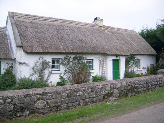 Maura's Cottagehouse · 424 yd
 Megalithic structure in LoughgurMegalithic structure · 530 yd
 Knockbologue Househouse · 709 yd
 Settlement cluster in LoughgurSettlement cluster · 767 yd
 Black Castle (in ruins)Castle, tower house · 1484 yd
 Castle (in ruins)Castle, unclassified · 1523 yd
 Pedunculate OakPedunculate Oak · 1640 yd
 Lough Gur Heritage CentreVisitor information · 1.0 mi
 The SpectaclesVisitor information · 1.1 mi
 Glen BogForest · 1.5 mi
 Grange Stone CircleArchaeological place · 1.6 mi
 Lough GurVisitor information · 1.7 mi
Other information
Photo: Credit not shown in the picture search · Rights wording not checked; contact us if this picture should be removed