
What is recorded here
In rocky pasture on a NW-facing slope located 80m WSW of the Loughgur Cross. The Carraig Aille stone forts (LI032-053002-/003-) are located 235m to N; two crannóga known as 'Balie Islands' (LI032-039001-/002-) are located 550m to NW; a standing stone annotated ’Leagaun’ (LI032-061----) is located 90m to WSW and an archaeological investigation (Excavation Licence Ref: 04E0296), which uncovered archaeological features in 2004 (LI032-317----), is located 30m to S.
The site is not depicted on any OSi historic maps. It is not visible on the OSi orthoimage taken 2005-12 or on the Digital Globe orthoimages taken 2011-2013. The site was first described in the early 19th century (Croker 1833, 110) and was described as ‘a tabular stone supported by three stones. It measures in length 7’ [2.13m], in breath 6’ [1.83m] at one end and 4’ [1.22m] at the other. It is one foot [0.3m] in thickness’. O'Kelly (1944, 24) considered it to be ‘a very doubtful site. The stones mentioned seem to be naturally outcropping boulders.’ It is not included in the Megalithic Survey for Co. Limerick either as a known or potential monument (De Valera and Ó Nualláin, 1982, 71-9). The field to the S of the megalithic structure (LI032-054----) was archaeologically investigated by Frank Coyne (Excavation Licence Ref: 02E1266) to see if the site was suitable for a domestic dwelling in 2002 (Coyne 2004, 338). Six trenches were opened by machine on the site, which was a level, grassy field. Each trench was 20m long and 1.5m wide. All were excavated down to the natural, a silty clay with occasional stones. No archaeological material was encountered.
See attached Google Street View Oct 2019 and Google Earth orthoimages
Compiled by: Edmond O’Donovan
Date of upload: 16 November 2020
The monument record does not grant public access. Check the route and ask the landowner before entering private land.
- What survives
- Recorded monument
Places near here
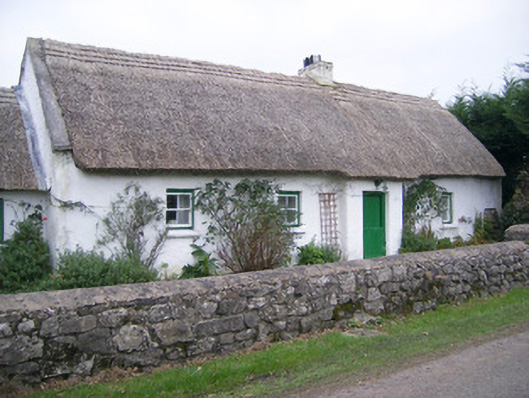 Maura's Cottagehouse · 108 yd
 Settlement cluster in LoughgurSettlement cluster · 323 yd
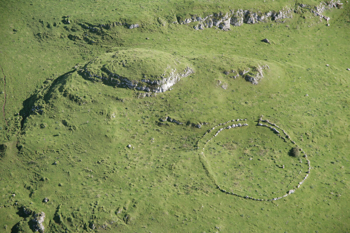 Carraig Aille, HachuredFairy fort / stone ringfort · 371 yd
 RoadRoad, road/trackway · 489 yd
 Black Castle (in ruins)Castle, tower house · 966 yd
 Pedunculate OakPedunculate Oak · 1135 yd
 Lough Gur Heritage CentreVisitor information · 1315 yd
 The SpectaclesVisitor information · 1443 yd
 Garret IslandCastle, unclassified · 1702 yd
 Grange Stone CircleArchaeological place · 1.3 mi
 Lough GurVisitor information · 1.4 mi
 Glen BogForest · 1.6 mi
Other information
Photo: Credit not shown in the picture search · Rights wording not checked; contact us if this picture should be removed