National monument No. 247. A cluster of excavated houses situated in area of rock outcrop 200m E of a small lake that was drained in the 19th century and which formed part of Lough Gur. The small lake had two islands known as 'Balie Islands' which are the remains of two crannóga (
LI032-039001-/002-). Seven house sites with small enclosures are located immediately N of an excavated cashel (
LI032-053003-) and SSE of Carraig Aille fort (
LI032-053002-) also excavated by Ó Ríordáin. The seven excavated house sites and their enclosures were described by Ó Ríordáin (1949, 47-52) as following; 'The forts [LI032-053002-/003-] are separated by a distance of about 130' [40m], and in the area between, on the more level ground bordering Carraig Aille II [LI032-053002-], are the house sites and enclosures, the excavation of which will be described. As will be shown, the occupation of these house sites is connected with that of Carraig Aille II. There are indications of other but less definite house sites on the gentler southern slope of the ridge. With the exception of one excavated house site contiguous to the fort-wall on the south, it was not found practicable to excavate the more scattered sites on the hill-slope. One can only say therefore that they possibly indicate habitation over a wider area by the inhabitants of Carraig Aille II. One house was found immediately outside the fort rampart on the south in C 8 and C 9. Here there was a paved area about 24' [7.3m] by 8' [2.4m] bounded on the east and along part of its southern edge by the low remains of a wall. At its western end the southern wall turned southwards and could be traced for a short distance but the paving did not extend in this direction. On the western side of the paved area the very collapsed remains of a wall were seen ; at the southern end they merged unto a field bank which extended to a point 42' [13m] from the fort rampart. From here another field bank ran westward to the edge of the steep slope of the hill. Because of the collapsed character of the house wall on the western side of the paving it is not possible to be definite on the relation between house wall and field bank, but it seems likely that the latter is ancient and was built so as to terminate against the house, and, with the approximately parallel fragment of wall to the east, to form an approach to it. The paving was closely butted against the rampart, and it is clear that the rampart was used as the northern wall of the house. These house sites have already been mentioned as occupying the more level space north of Carraig Aille II. Before excavation they showed as a group of banks and mounds bounding approximately rectangular areas. Excavation showed that the walls they covered gave a more complex pattern than was indicated by the surface appearances. In general, however, the surface indications were confirmed in that a series of rectangular enclosures were uncovered. These were in some instances clearly houses, in others they seem to have been merely yards, while one was evidently part house part yard. For purposes of description each enclosure, whether house or yard will be referred to under the Roman numeral with which it is marked on the plans. No. I is the large enclosure occupying the north-east corner of the group. It is only approximately rectangular, the western side being longer than eastern. Its average internal measurements are 60' [18.3m] by 28' [8.5m]. The walls remained to an average height of 2' [0.6m] and were about 4' [1.2m] in thickness. They consisted, as did most of the other walls here, of a double facing of large stones - the local limestone - with a fill of rubble and earth. The walls around enclosure No. I were best on the east, south and along the eastern half of the north side. The west wall and the western portion of the north wall were less well constructed, being banks of small stones packed with hard yellow clay. At three of the corners the walls made sharp junctions which, though not exact right-angles, were well constructed. the wall at the east side were two breaks, one near the middle and one near the north-eastern corner. The break near the middle, though narrow, only 2' 8" [0.8m] in width, was evidently the entrance. The second break was still narrower, only 1' 9" [0.53m], and may have been due to collapse at the corner where the eastern wall was not bonded into the northern one. Inside the break which we have supposed to be the entrance was a hollow in the rock surface which was apparently natural (length 10' [3m], width 3' [0.9m], depth 9") but was surrounded by a single line of stones built in position. No. II, immediately south of No. I, was in ways the most satisfactory house discovered in this group. Its internal measurements were 30' 6" [9.3m] by 9' 6" [2.9m], the long axis running east and west. The walls were of an average height of 1' 6" [0.45m]. The eastern wall was a continuation of the eastern wall of No. I and the northern wall was common to No. I and No. II. The other walls were not bonded into these. The floor of the house was mainly the rock surface with some paving at the western end and in part a cover of hard packed yellow clay at the eastern end. Eight post-holes were found - of average diameter 9" [0.22m] and depth 10" [0.25m]. Seven of these were placed immediately inside the walls and were roughly paired along the length of the house; it was not possible however to find evidence of any post-hole in the north-eastern corner. One post-hole was near the centre of the house. No. III was the next enclosure to the south of No. II and again its eastern wall was a continuation of the eastern walls of Nos. I and II. This wall, in fact, formed an important and evidently early feature of the whole group, being bonded to the walls of No. I but not to the other walls to the south, which were only butted against it, showing that Nos. II, III, and IV were later buildings than No. I. The entrance to No. III was near the south-east corner - a doorway 5' 6" [1.67m] wide in the east wall. The preserved portion of the west wall ended sharply in D 26 and another doorway probably existed here. No. IV was an almost square house about 15' 6" [4.7m] by 13' 6" [4.1m] internal measurements, and was immediately south of No. III. As has been mentioned the party wall between IV and III did not bond into the long north-south wall on the east of the site. Similarly the western wall of No. IV did not bond into the long wall. The indications are that the large enclosure No. I with the long continuation of its eastern wall southwards towards the fort, was the first of the stone buildings on the site and that further houses were subsequently built to occupy the space between No. I and the fort rampart. No. V. west of No. IV was somewhat larger than the latter but, although the portions of paving which remained were good, the walls were very in definite. A portion of curved wall with some remains of paving on either side of it ran from the west of V to the fort rampart, west of the break in the latter. No. VI is a site which was twice rebuilt, and to explain the sequence a detailed plan is given. The earliest house had thick walls, about 4' [1.2m] in thickness, represented by the portions AB and CD. This house was paved. Over it was built a house represented by the fragment of wall EF and the conjectural plan shown by dotted lines. The last habitation on the site is represented by a wall fragment GH. No. VII was a large area bounded by No. I on the north side, by No. II and part of No. III on the east, and indefinitely by No. VI on the south. Except for a hearth and some post-holes in it nothing can be said about its use as house or yard'. See attached ASI aerial photograph ASIAP – 349/5 taken 05/01/2003.
 Fairy fort / stone ringfort in LoughgurFairy fort / stone ringfort · 36 yd
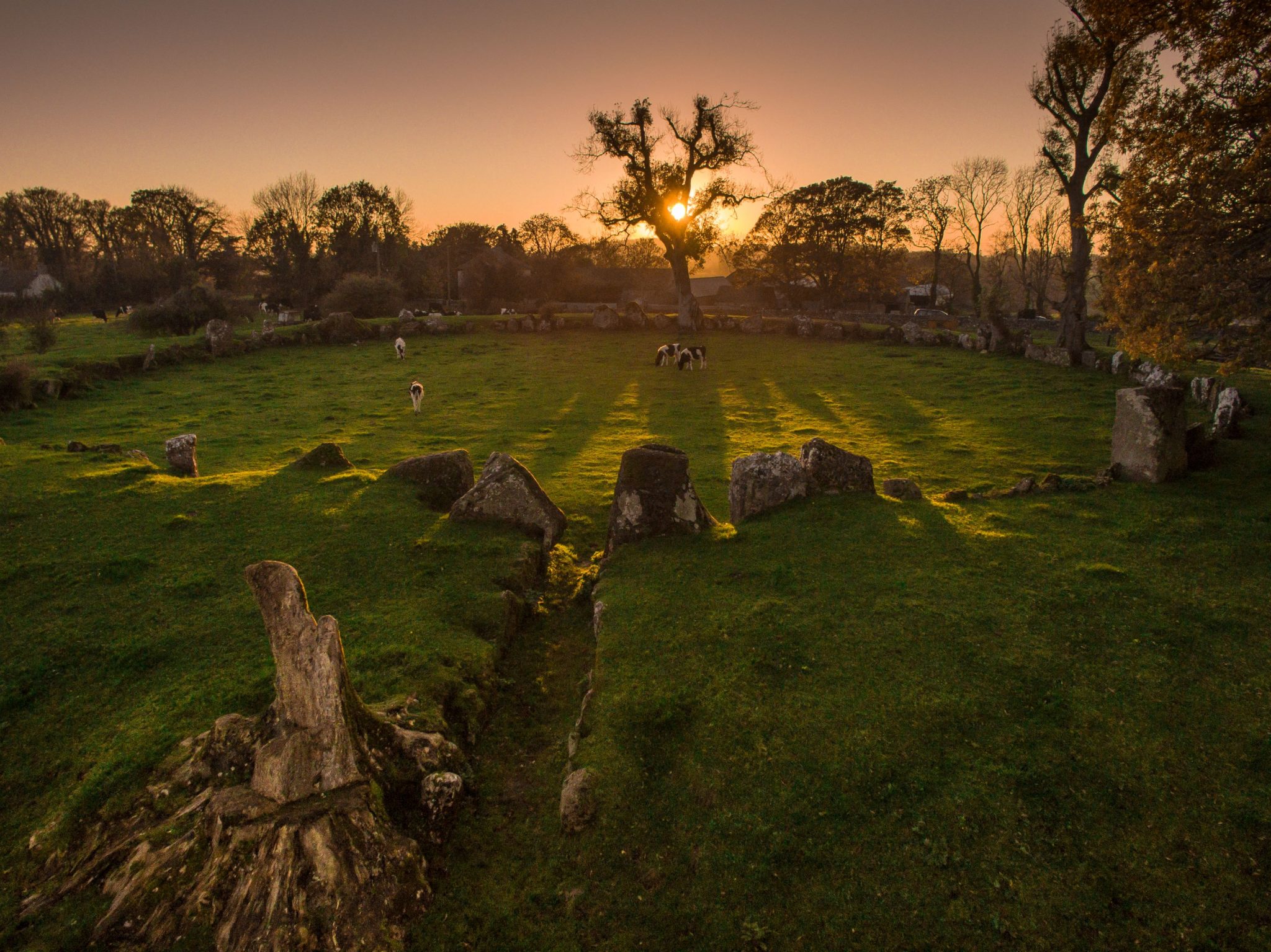 Cist in LoughgurCist · 389 yd
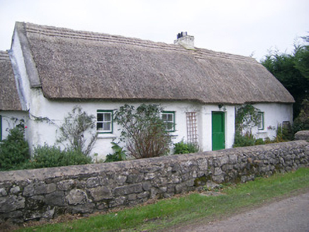 Maura's CottageHouse · 407 yd
 Stone CirclesBurial mound · 521 yd
 Standing stone in LoughgurStanding stone · 914 yd
 Knockbologue HouseHouse · 950 yd
 Áine and Gearóid Iarla: Lough GurLegend location · 1065 yd
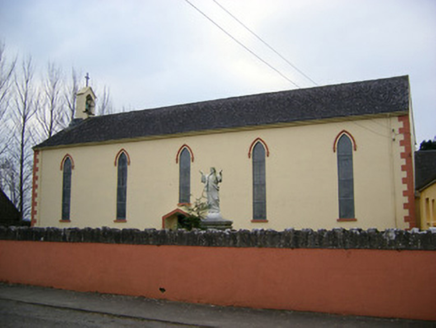 Saint Patrick's Catholic ChurchChurch/chapel · 1440 yd
 mausoleum1.0 mi
 Giants GraveMegalithic tomb · 1.0 mi
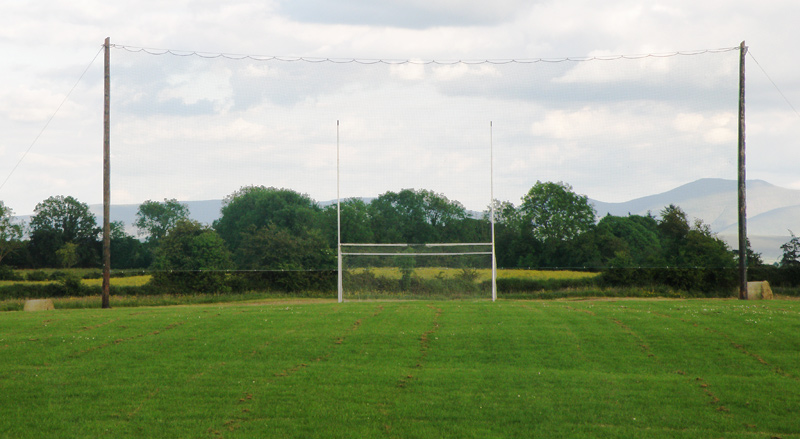 Knockainey GAA pitchGAA ground · 3.0 mi
 Bruff GAA pitchGAA ground · 3.1 mi

What do you know about this place?Tap to add a comment or ask a question