What is recorded here
On flat level ground within Gowran demesne. Identified as a cropmark on an aerial photograph (CUCAP AYK080, 9 July 1969). Listed as ‘enclosure site’ in the SMR (1987) and RMP (1996). The cropmark is of a fosse running roughly N-S E of a tower house (KK020-060001-) and c. 20m E of a bawn also visible on this aerial photograph. The feature appears to continue N and disappears into the vegetation on the banks of a stream, c. 130m N of the bawn. It is possible that this is an old stream course. A faint cropmark also runs parallel with the feature, c. 6m to the W, for c. 80m E of the bawn and may indicate a trackway following the course of the stream.
See attached aerial photographs:
KK020-060003-_01 Google Earth image (imagery date 14 July 2018)
KK020-060003-_02 CUCAP AYK080, 9 July 1969
Compiled by: Jean Farrelly
Date of upload: 1 March 2021
The monument record does not grant public access. Check the route and ask the landowner before entering private land.
- What survives
- Recorded monument
Places near here
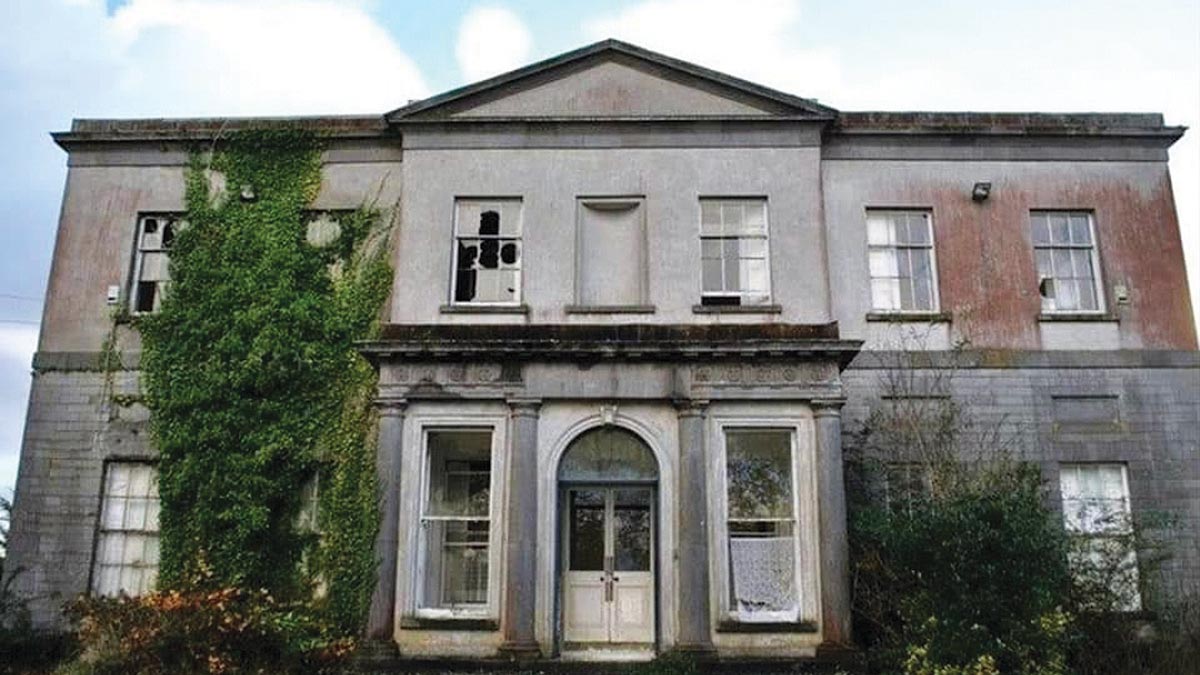 Bawn in Gowran DemesneBawn · 54 yd
 Ballyshanemore Cas. (in ruins)Castle, tower house · 93 yd
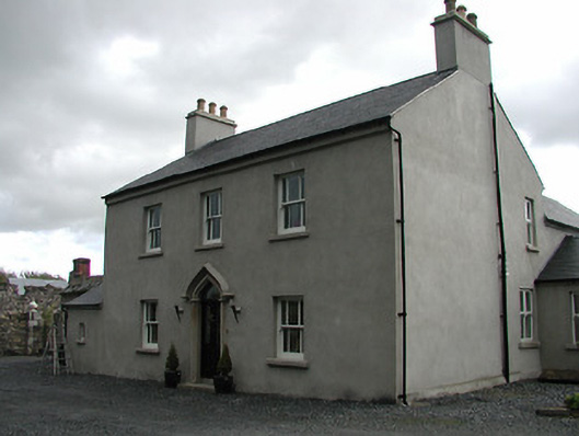 Mill Housemiller's house · 239 yd
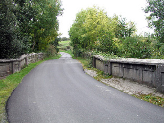 bridgebridge · 253 yd
 Font in GowranFont · 549 yd
 CrossCross, Market cross (present location) · 559 yd
 Red BogForest · 2.0 mi
 The Pey FieldForest · 2.9 mi
 Tullaherin Church and Round TowerVisitor information · 4.1 mi
 St. Mogarra’s WellSpring · 4.8 mi
 Kilbline GraveyardArchaeological place · 5.0 mi
 Time CapsuleMemorial · 5.3 mi