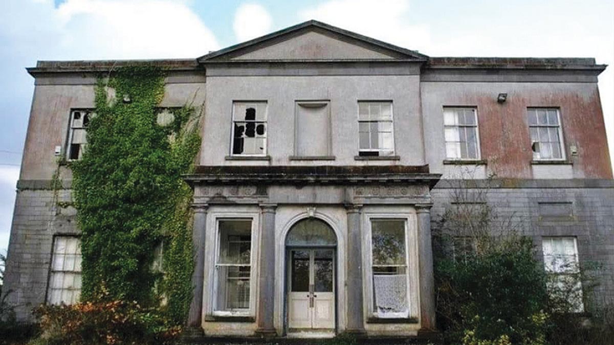
What is recorded here
On flat level ground. Identified as a cropmark of a fosse c. 55m N and c. 50m E of a tower house (KK020-060001-) on an aerial photograph (CUCAP AYK080, 9 July 1969). The cropmark appears to form the N and E side (L c. 70m) of a bawn associated with the tower house. A road runs NE-SW along the W side of the tower house and a field boundary runs NW-SE S of the tower house running southeastward. There is no indication of the cropmark in the field W of the road and S of the field boundary, probably due to different crops in these fields.
See attached aerial photographs:
KK020-060002-_01 Google Earth image (imagery date 14 July 2018)
KK020-060002-_02 CUCAP AYK080, 9 July 1969
Compiled by: Jean Farrelly
Date of upload: 1 March 2021
A local castle; wider significance not recorded.
The monument record does not grant public access. Check the route and ask the landowner before entering private land.
- What survives
- Recorded monument
Places near here
 Ballyshanemore Cas. (in ruins)Castle, tower house · 46 yd
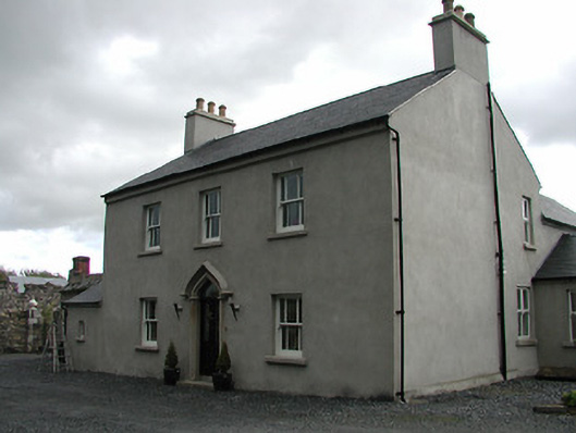 Mill Housemiller's house · 207 yd
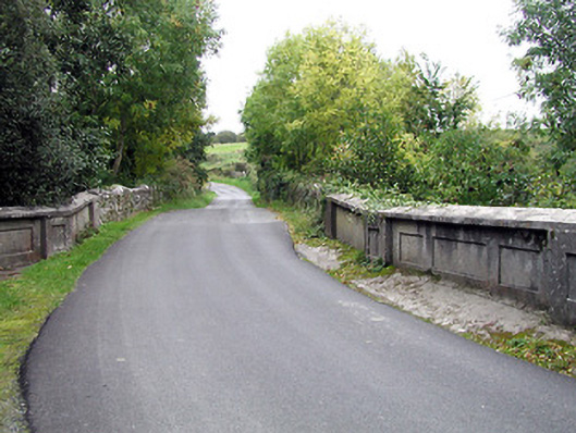 bridgebridge · 230 yd
 CrossCross, Market cross (present location) · 535 yd
 Font in GowranFont · 537 yd
 Castle (Site of)Castle, unclassified · 750 yd
 Red BogForest · 2.0 mi
 The Pey FieldForest · 2.9 mi
 Tullaherin Church and Round TowerVisitor information · 4.1 mi
 St. Mogarra’s WellSpring · 4.8 mi
 Kilbline GraveyardArchaeological place · 5.0 mi
 Time CapsuleMemorial · 5.3 mi
Other information
Photo: Credit not shown in the picture search · Rights wording not checked; contact us if this picture should be removed