
What is recorded here
A 1710/11 map the town showing a cross towards the E end of the main street, suggests that the original market place was located in this area, S of the main street and probably infilled with a 'Malt House' (KK020-060018-) (White 1710/11). There is a triangular fair green at the W end of the town which Thomas (1992, vol. 2, 115) suggests may have originally been outside the town but which was incorporated as a result of an expansion westward. The cross indicated on the White map was probably the market cross and this appears to have subsequently moved to the fair green which effectively became the market place. Local tradition relates that, ‘the Cromwellians broke the cross down and that the pieces were scattered on the green’ (Drennan 1965, 58). Only the base of the cross survives. It has been placed on a circular concrete plinth on the SW grassy island within the green. It consists of a straight-sided plain block of limestone, square in plan (dims. 0.6m x 0.6m), which tapers towards the top. The top of the base has a rectangular socket (dims. 0.18m x 0.2m; D 0.18m).
A 1710/11 map the town showing a cross towards the E end of the main street, suggests that the original market place was located in this area, S of the main street and probably infilled with a 'Malt House' (KK020-060018-) (White 1710/11). There is a triangular fair green at the W end of the town which Thomas (1992, vol. 2, 115) suggests may have originally been outside the town but which was incorporated as a…
From the National Monuments Service (Archaeological Survey of Ireland) record KK020-060002
The monument record does not grant public access. Check the route and ask the landowner before entering private land.
- What survives
- Recorded monument
Places near here
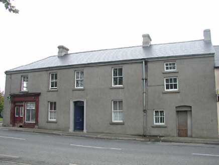 E. ByrneHouse · 26 yd
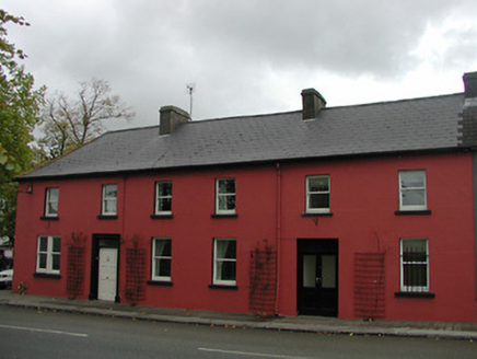 Annesley HouseHouse · 43 yd
 Font in GowranFont · 123 yd
_-_geograph.org.uk_-_8100379.jpg/250px-Castles_of_Leinster,_Ballyshawnmore,_Kilkenny_(1)_-_geograph.org.uk_-_8100379.jpg "Photo: Mike Searle, Wikimedia Commons · CC BY-SA 2.0") Ballyshanemore Cas. (in ruins)Castle, tower house · 550 yd
Ballyshanemore Cas. (in ruins)Castle, tower house · 550 yd Bastionfort WellHoly well · 626 yd
 Neigham CastleCastle, tower house · 1.6 miRed BogForest · 2.3 mi
 Hawthorn3.2 mi
 Tullaherin Church and Round TowerVisitor information · 4.3 mi
 St. Mogarra’s WellSpring · 4.6 miKilbline GraveyardArchaeological place · 5.2 miTime CapsuleMemorial · 5.4 mi
Pictures: National Inventory of Architectural Heritage; Humphrey Bolton, Wikimedia Commons · CC BY-SA 2.0; Mike Searle, Wikimedia Commons · CC BY-SA 2.0; A.-K. D., Wikimedia Commons · CC BY-SA 4.0; Didier Descouens, Wikimedia Commons · CC BY-SA 4.0; Humphrey Bolton, Geograph · CC BY-SA 2.0
More archaeology and monuments in County Kilkenny · All of County Kilkenny
What do you know about this place?